Once the sole domain of meteorologists and geographers, satellite imagery has become an increasingly useful tool for criminal investigations. Law enforcement agencies across the globe have taken advantage of the high-resolution images offered by satellite technology and are using greater quantities of such images than ever before to aid with investigations.
In criminal cases where evidence might be limited or challenging to obtain, satellite images can offer additional insight, helping to track movements, identify unusual activities in specific areas, or provide broader context to investigations.
According to CBS News, the astonishing quality and resolution of current satellite photos could potentially fulfill 90% of US military intelligence needs. Commercial satellite photographs are almost as good as those from military espionage satellites. Some companies provide satellite imagery with resolutions as high as 30 centimeters per pixel, allowing the identification of objects as small as 30 centimeters. However, the use of commercial satellites for criminal investigations has raised questions about the ethical and legal implications of this technology.
In June 2013, police officers in Grants Pass, Oregon, acted on a tip that Curtis W. Croft was illegally growing marijuana in his backyard. Police verified the claim using Google Earth, where a four-month-old satellite image revealed organized rows of plants on Croft’s property. The police executed a raid and confiscated 94 plants.
Another interesting example was the mysterious disappearance of William Moldt, who was reported missing on November 7, 1997, in Florida, US, after failing to return home following a night out. While the case was cold for more than two decades, a breakthrough came on August 28, 2019, when a former area resident spotted a car submerged in a lake on Google Maps, prompting local authorities to investigate. The retrieved car contained skeletal remains later identified as belonging to Moldt.
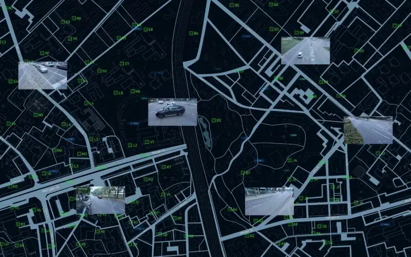
The democratization of satellite imagery, enabled by advanced multi-modal sensors, ensures that every corner of the Earth is under constant surveillance. According to the satellite tracking website Orbiting Now, as of May 4, 2023, there are approximately 7,702 active satellites in various Earth orbits, 1,030 of which are for Earth observation.
The application of satellite imagery for public security has been met with the same level of skepticism once faced by surveillance cameras. The proven crime solving value of satellite imagery makes it likely that governments will continue to use commercial satellites as assets for public security. Meanwhile, commercial satellite companies will continue to profit from providing technological solutions.
Currently, satellites in the US are subject to some regulations. Companies wanting to launch and operate a satellite must secure a license from the Federal Communications Commission and approval from the International Telecommunications Union. Other countries also regulate their satellites. For instance, in Europe, the General Data Protection Regulation may apply to any imaging system that could personally identify EU (European Union) citizens. Canada’s satellites are governed by the Remote Sensing Space Systems Act, while China and India limit publicly available data on Google Earth.