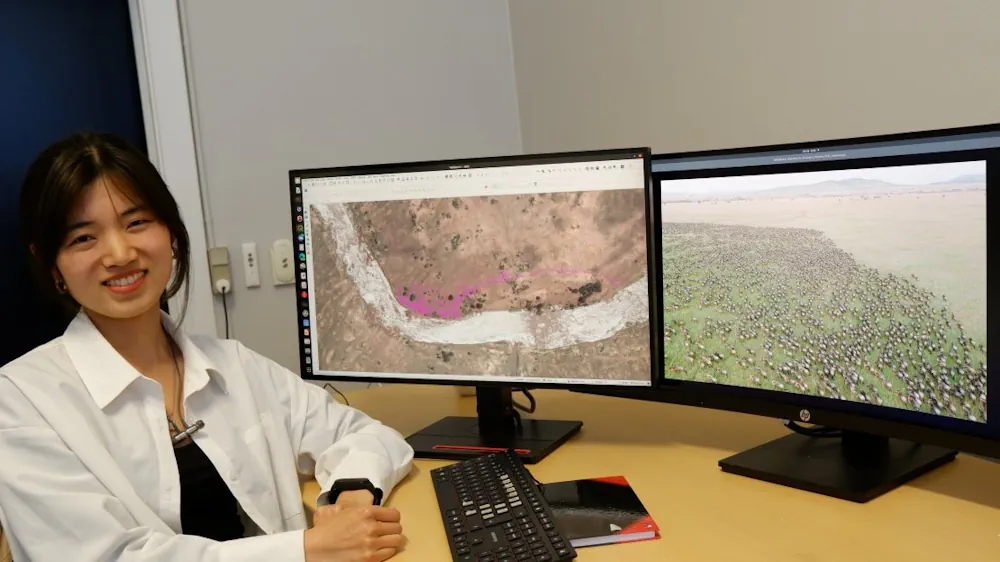
In their research, associate professor from the NRS Department Tiejun Wang and his master's student Zijing Wu developed an AI-model to automatically locate and count large herds of migratory ungulates (wildebeest and zebra). They used their method in the Serengeti-Mara ecosystem using fine-resolution (38–50 cm) satellite imagery. They achieved accurate detection of nearly 500,000 individuals across thousands of square kilometers and multiple habitat types. The scientists at the Department of Natural Resources (ITC Faculty—University of Twente) recently published their results in the journal Nature Communications. The Great Wildebeest Migration is the largest terrestrial mammal migration on our planet. It drives multiple ecological processes that support the health of humans and wildlife across the region. However, due to climate and land cover/use change, this natural process is becoming compromised. Developing accurate, cost-effective monitoring methods has quickly become a vital necessity to protect wildebeests and the ecosystem.
To address this issue, Tiejun Wang demonstrates, for the first time, the capability of satellite remote sensing and machine learning techniques to automatically and accurately count very large populations of wildebeest and zebras. Even across the highly heterogeneous landscape of their migration journey. This study yielded highly accurate results and the largest training dataset ever published from a satellite-based wildlife survey (53,906 annotations).