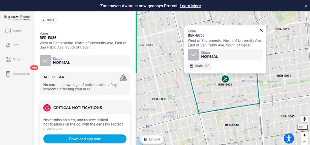
Learn how to use the City’s Emergency Map to quickly see how neighborhoods, including your own, may be directed to evacuate, shelter in place, or take other protective action during a major emergency. When possible, the City would use the map to also identify evacuation routes, road closures, shelters, or other critical information to guide you to your next step. This dynamic map is used in real-time by Berkeley’s first responders, connecting the public with the most immediate information available. The map can be viewed with specific detail down to the address level and includes key landmarks, such as schools and parks. You can plug in your address to quickly see the current emergency status for your home.