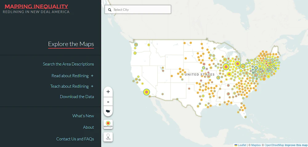
The Digital Scholarship Lab at the University of Richmond has released an updated version of its popular “Mapping Inequality” project. The award-winning, open-access project focuses on redlining — the practice of denying financial services to residents based on race or ethnicity. Mapping Inequality is the largest collection of maps produced by the Home Owners’ Loan Corporation in the 1930s. These maps are frequently used by journalists and scholars to analyze redlining and its consequences. The newly released version of Mapping Inequality adds more than 100 new maps, mostly for smaller cities in states like the Dakotas, Vermont, and Oklahoma — places that have not typically been part of the broader conversation about redlining. The collection was last updated in 2019.