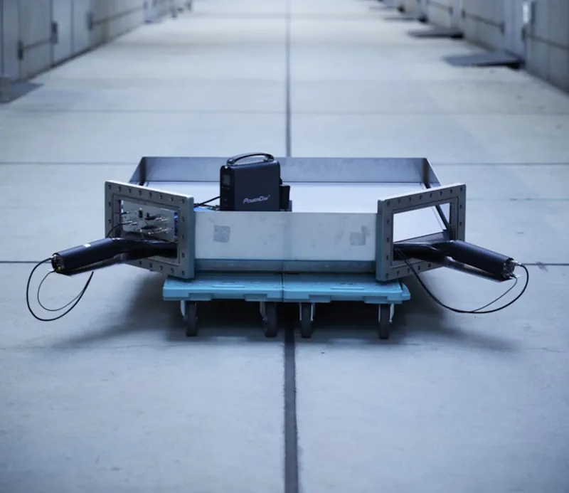
Superfast, subatomic-sized particles called muons have been used to wirelessly navigate underground for the first time. By using muon-detecting ground stations synchronized with an underground muon-detecting receiver, researchers at the University of Tokyo were able to calculate the receiver's position in the basement of a six-story building. As GPS cannot penetrate rock or water, this new technology could be used in future search and rescue efforts, to monitor undersea volcanoes, and guide autonomous vehicles underground and underwater. The findings are published in the journal iScience. "Cosmic-ray muons fall equally across the Earth and always travel at the same speed regardless of what matter they traverse, penetrating even kilometers of rock," explained Professor Hiroyuki Tanaka from Muographix at the University of Tokyo. "Now, by using muons, we have developed a new kind of GPS, which we have called the muometric positioning system (muPS), which works underground, indoors and underwater." MuPS was initially created to help detect seafloor changes caused by underwater volcanoes or tectonic movement. It uses four muon-detecting reference stations above ground to provide coordinates for a muon-detecting receiver underground. Early iterations of this technology required the receiver to be connected to a ground station by a wire, greatly restricting movement. However, this latest research uses high-precision quartz clocks to synchronize the ground stations with the receiver. The four parameters provided by the reference stations plus the synchronized clocks used to measure the muons' "time-of-flight" enables the receiver's coordinates to be determined. This new system is called the muometric wireless navigation system (MuWNS). To test the navigation ability of MuWNS, reference detectors were placed on the sixth floor of a building while a "navigatee" took a receiver detector to the basement floor. They slowly walked up and down the corridors of the basement while holding the receiver. Rather than navigating in real time, measurements were taken and used to calculate their route and confirm the path they had taken. "The current accuracy of MuWNS is between 2 meters and 25 meters, with a range of up to 100 meters, depending on the depth and speed of the person walking. This is as good as, if not better than, single-point GPS positioning above ground in urban areas," said Tanaka. "But it is still far from a practical level. People need one-meter accuracy, and the key to this is the time synchronization."