Over the next few weeks, NASA aircraft will fly over South Africa’s Greater Cape Floristic Region and collect ultraviolet, visual, thermal and other imagery of its terrestrial and aquatic ecosystems. These preliminary images will be publicly available and posted online here within hours of the aircraft landing each day.
Combined with satellite imagery and field work, the aircraft imagery will give scientists an unprecedented look into one of the Earth’s biodiversity hotspots, and potentially lay the foundation for monitoring biodiversity across the globe from space. “We are in the midst of a biodiversity crisis — losing species globally far above historical rates — and we know that biodiversity is critical for keeping Earth habitable,” says Adam Wilson, PhD, a University of Buffalo biogeographer and mission scientist on the project, titled BioSCape. “These new data will give us a deeper understanding of ecosystem composition and help us learn how they will respond to environmental change.”
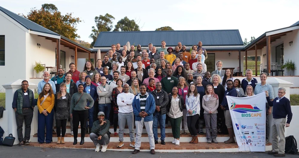
BioSCape is a collaboration between approximately 150 U.S. and South African scientists and is co-funded by NASA and South Africa’s National Research Foundation. Wilson received $1.3 million in NASA funding for his share of the project. Two NASA aircraft will take to the skies to collect the data. The Gulfstream V aircraft began flying Oct. 20 and will complete its mission on Nov. 15. The other, the Gulfstream III aircraft, began flying Oct. 22 and will complete its mission near the end of November. The two aircraft are outfitted with a combination of sensors, including spectrometers and laser altimeter scanners, that each provide a different set of data, from sea surface temperatures to 3-D images of vegetation. The area they’re mapping, the Greater Cape Floristic Region, is located in the southwest corner of Africa and known for its rich animal and vegetative diversity. For example, the region covers less than 0.5% of Africa but harbors nearly 20% of the continent’s plant species. In fact, the region is so biodiverse, researchers say it’s one of the most challenging places they could have chosen to conduct their project.
The project will also rely on data collected from a new imaging spectrometer (EMIT) currently aboard the International Space Station that was developed in part by BioSCape team members. Other team members like Wilson, associate professor in the UB Department of Geography, who is currently in Cape Town, South Africa, have been conducting field work since earlier this year. Some of this work includes measuring plants’ spectral reflectance, recording bird and insect calls, and extracting environmental DNA from water samples.
As for the images from above, the hope is that they will be available online within about 12 hours of the aircraft landing. The full data should then be available within a few months of the project concluding. “The data will be publicly available for the global community to ask new questions, while members of the BioSCape team will use the data over the next few years to publish numerous studies on their particular focus areas,” Wilson says. Government agencies and other organizations in South Africa may also use the data to address conservation challenges. Researchers have already held two workshops to explore ways their research outputs could be more applicable to the needs of local decision makers.