Tunisia has expressed interest in implementing Geographic Information System (GIS) mapping for laboratory functions among North African countries. This initiative aims to create detailed visual representations of laboratory capacities and capabilities across the country.
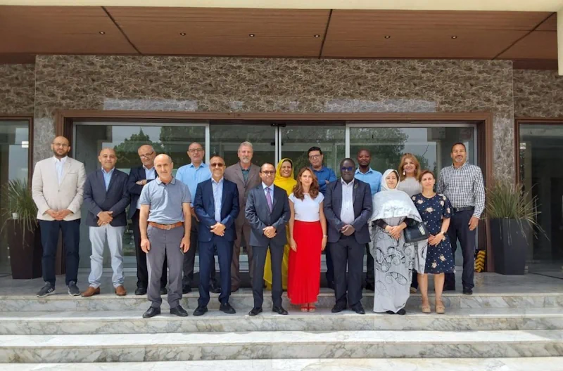
The candidacy emerged during Africa CDC’s first meeting on GIS mapping for public health with seven North African countries, which included Algeria, Tunisia, Saharawi, Libya, Morocco, and Mauritania, held from 26-28 June.
“The training focused on understanding GIS mapping in North Africa, experiences with its implementation, and the advancement level of various GIS initiatives in the region,” said Dr. Aytenew Ashenafi Eshete, Programme Manager, Laboratory Networks and Systems at Africa CDC.
Geospatial mapping of laboratory functions and capacity has proven to be an effective tool for identifying critical gaps, planning improvements, optimizing laboratory networks, and establishing robust specimen referral systems. This initiative aims to evaluate laboratory capacities throughout Africa using GIS mapping to address existing gaps. The LabMap Project aligns with Africa CDC’s strategic priority of enhancing the resilience and responsiveness of laboratory networks to health threats. It also supports the WHO AFRO Regional Strategy for Health Security and Emergencies, which emphasizes evidence-based planning for capacity-building interventions in the healthcare system.
In collaboration with ASLM, Africa CDC has mapped existing laboratory capacities in 18 Member States. However, North Africa has not participated in any GIS mapping programs. “We intended to get a buy-in for them to be part of the GIS mapping program to strengthen the laboratory network in Africa,” said Dr. Aytenew.