NISAR, the soon-to-launch radar satellite from NASA and the Indian Space Research Organisation (ISRO), will measure some key Earth vital signs, from the health of wetlands to ground deformation by volcanoes to the dynamics of land and sea ice. This last capability will help researchers decipher how small-scale processes can cause monumental changes in the ice sheets covering Antarctica and Greenland, as well as on mountain glaciers and sea ice around the world. Short for NASA-ISRO Synthetic Aperture Radar, NISAR will provide the most comprehensive picture to date of motion and deformation of frozen surfaces in Earth’s ice- and snow-covered environments, collectively known as the cryosphere.
Set to be launched in 2024 by ISRO from southern India, NISAR will observe nearly all the planet’s land and ice surfaces twice every 12 days. The satellite’s unique insights into Earth’s cryosphere will come from the combined use of two radars: an L-band system with a 10-inch (25-centimeter) wavelength and an S-band system with a 4-inch (10-centimeter) wavelength. L-band can see through snow, helping scientists better track the motion of ice underneath, while S-band is more sensitive to snow moisture, which indicates melting. Both signals penetrate clouds and darkness, enabling observations during monthslong polar winter nights.
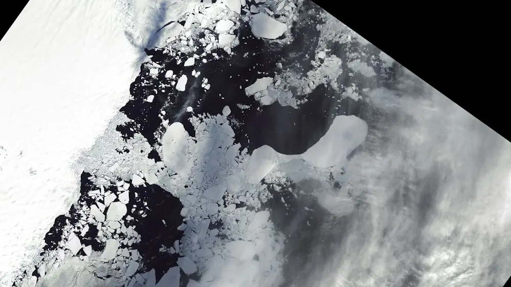
NISAR’s orientation in orbit will enable it to collect data from Antarctica’s far interior, close to the South Pole – unlike other large imaging radar satellites, which have more extensively covered the Arctic. Antarctica’s ice sheets hold the planet’s largest reservoir of frozen fresh water, and the rate at which it may lose ice represents the greatest uncertainty in sea level rise projections. NISAR’s increased coverage will be crucial for studying the motion of ice flowing down from central Antarctica’s high elevations toward the sea.