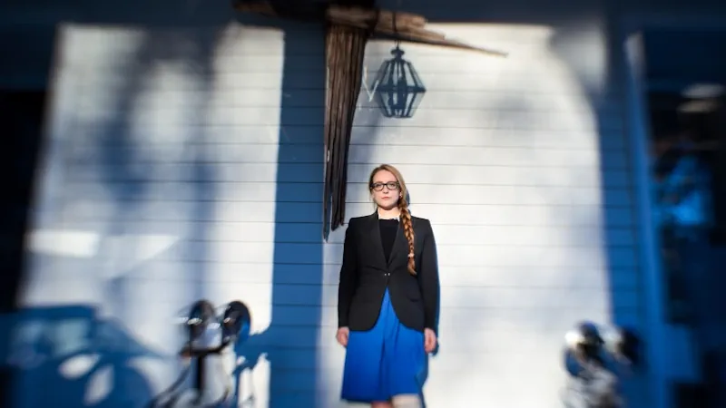
When Molly Burhans first started trying to map the Catholic Church’s global property holdings so the land could be put to work fighting climate change, the idea seemed so obvious to her that she was sure someone else must be doing it already. Burhans, a cartographer, was then an ecological-design grad student who had recently been introduced to geographic information system (GIS) mapping. But she was also a devout Catholic who liked spending time with nuns. It was on a visit to a monastery with a vast, underutilized lawn that she started thinking about how much land the church owns, and what an impact that land could make on the climate if managed responsibly. “The Catholic Church is the largest nongovernmental provider of health care, largest nongovernmental provider of education, and second-largest network of humanitarian aid—only surpassed if you include all the member organizations of the UN put together—in the world” What she found instead, when she began her work in 2014, was that not only did the church have no such network, but most of the parishes she contacted didn’t even have records of what land they owned—a function of the institution’s age and decentralization. The problem went all the way to the top: when Burhans managed to score an audience at the Vatican to seek access to records that would help her flesh out the maps she’d begun building using public data, with help from Yale student volunteers, she found that none of the Vatican’s own maps had been updated since 1901. That’s the gap Burhans, who is now 33, has been trying to fill with her organization GoodLands, she tells me from an empty auditorium in the architecture building at Columbia University, where we met and where she now teaches. She uses the GIS program ArcMap and machine learning to map the church’s holdings, categorize them by type, and suggest responsible land management practices. Though no one knows exactly how much land the global church owns, some estimates have put it at 177 million acres worldwide. To use mapping information in service of conservation, GoodLands starts by identifying what land a particular diocese might own, assigns the site to a category (hospital, university, or retreat center; urban and flat or rural and mountainous), and then uses machine learning to suggest responsible land management options, giving the priests or abbesses or other decision-makers a starting point as they try to discern what might be right for their community.