Geomaticians

Wiley

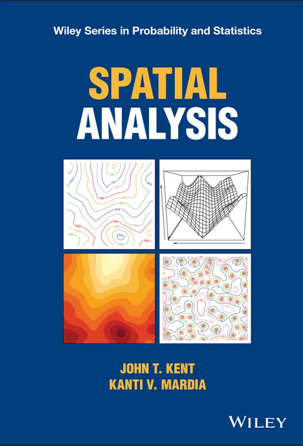
Spatial Analysis

Spatial Analysis

In Spatial Analysis, two distinguished authors deliver a practical and insightful exploration of the statistical investigation of the interdependence of random variables as a function of their spatial proximity. The book expertly blends theory and application, offering numerous worked examples and exercises at the end of each chapter. Increasingly relevant to fields as diverse as ...
wiley.com
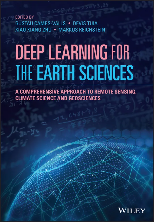
Deep Learning for the Earth Sciences

Deep Learning for the Earth Sciences: A Comprehensive Approach to Remote Sensing, Climate Science, and Geosciences

Deep learning is a fundamental technique in modern Artificial Intelligence and is being applied to disciplines across the scientific spectrum; earth science is no exception. Yet, the link between deep learning and Earth sciences has only recently entered academic curricula and thus has not yet proliferated. Deep Learning for the Earth Sciences delivers a unique ...
onlinelibrary.wiley.com
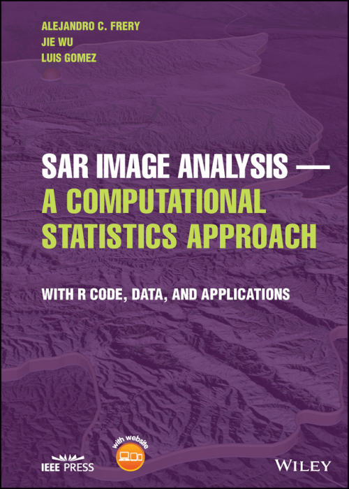
SAR Image Analysis - A Computational Statistics Approach With R Code, Data, and Applications

SAR Image Analysis – A Computational Statistics Approach: With R Code, Data, and Applications

In SAR Image Analysis — A Computational Statistics Approach, an accomplished team of researchers delivers a practical exploration of how to use statistics to extract information from SAR imagery. The authors discuss various models, supply sample data and code, and explain theoretical aspects of SAR image analysis that are highly relevant to practitioners and students. ...
wiley.com
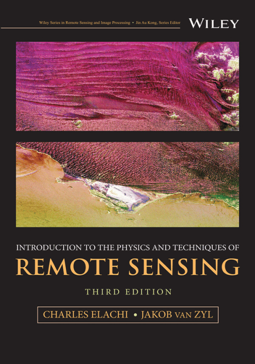
Introduction to the Physics and Techniques of Remote Sensing

Introduction to the Physics and Techniques of Remote Sensing

The thoroughly revised third edition of the Introduction to the Physics and Techniques of Remote Sensing delivers a comprehensive update to the authoritative textbook, offering readers new sections on radar interferometry, radar stereo, and planetary radar. It explores new techniques in imaging spectroscopy and large optics used in Earth orbiting, planetary, and astrophysics missions. It ...
wiley.com
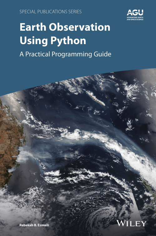
Earth Observation using Python A Practical Programming Guide

Earth Observation using Python: A Practical Programming Guide

Thousands of satellite datasets are freely available online, but scientists need the right tools to efficiently analyze data and share results. Python has easy-to-learn syntax and thousands of libraries to perform common Earth science programming tasks. Earth Observation Using Python: A Practical Programming Guide presents an example-driven collection of basic methods, applications, and visualizations to ...
wiley.com