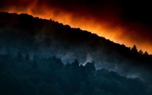
Waldbrände Aus Dem Weltall Erkennen
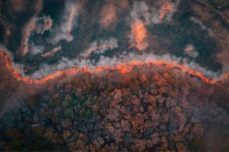
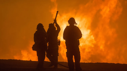
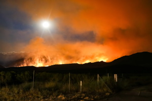
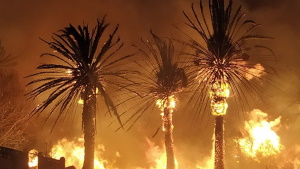
Das vom bayerischen Raumfahrtforschungsprogramm geförderte Verbundprojekt „SERAFIM“ verfolgt das Ziel, Waldbrände mittels Satelliten schneller und besser zu detektieren. Die Professur für Erdbeobachtung an der Universität der Bundeswehr München befasst sich als Projektpartner mit der Entwicklung von vollautomatischen, KI-basierten Georeferenzierungs-Verfahren für die Infrarot-Aufnahmen der Satelliten. Die Waldbrandsaison ist momentan wieder in vollem Gange. Solche Brände gilt ...
idw-online.de