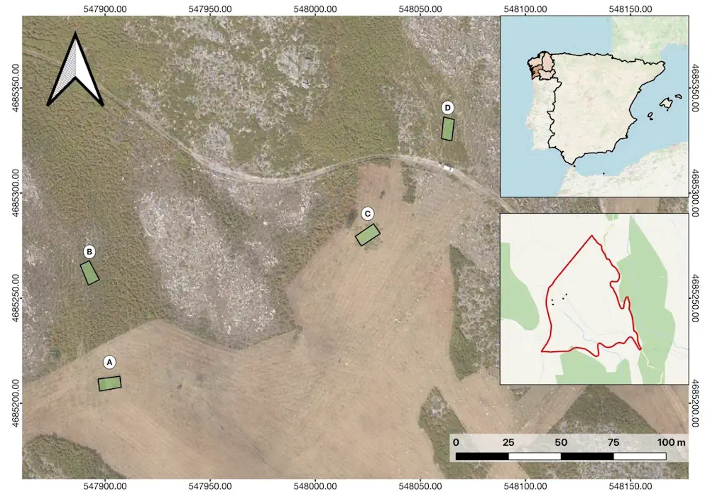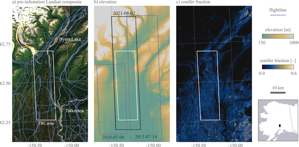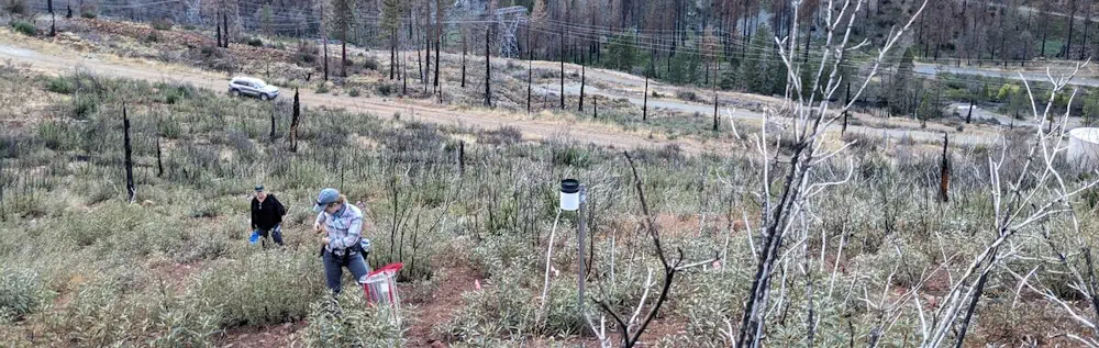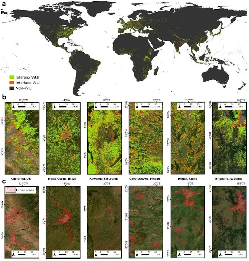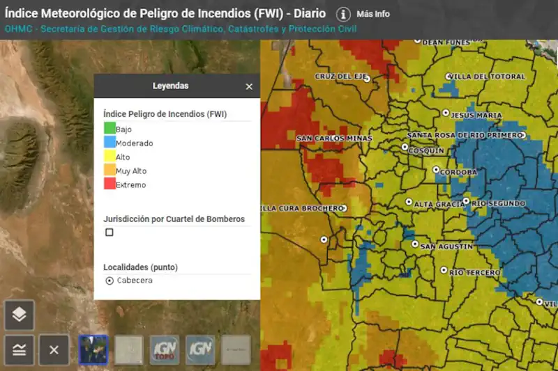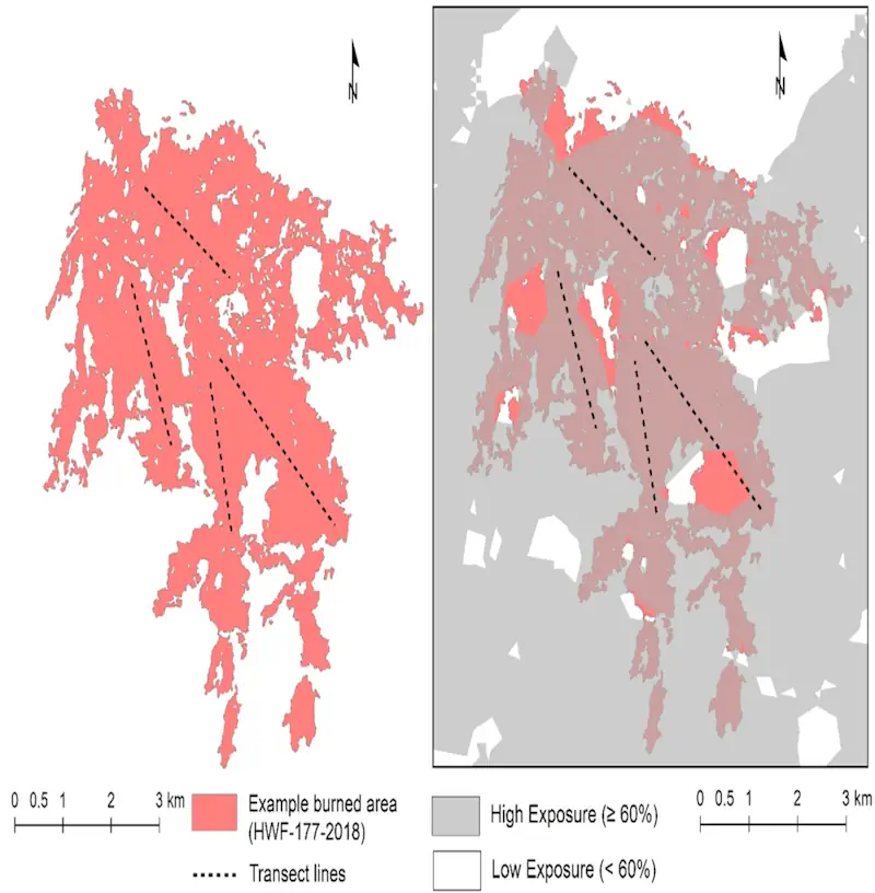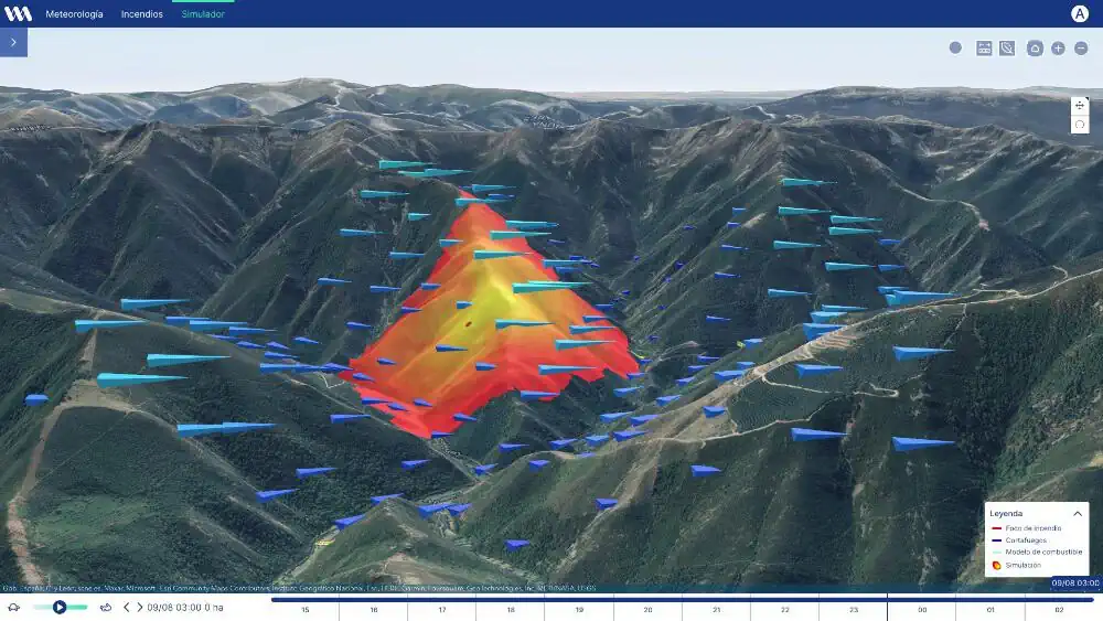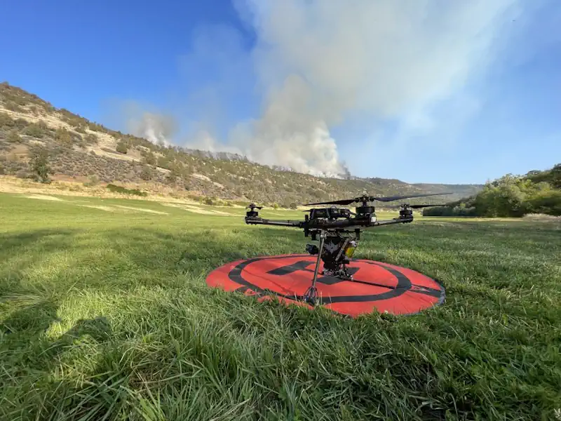
Remote Sensing of Natural Hazards
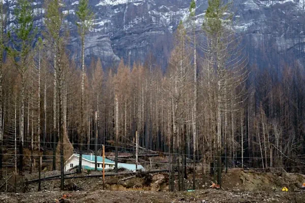
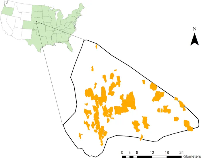
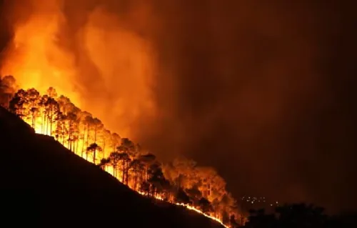
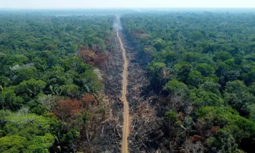
This book presents a comprehensive coverage of remote sensing technology used to gather information on 12 types of natural hazards in the terrestrial sphere, biosphere, hydrosphere, and atmosphere. It clarifies in detail how to yield spatial and quantitative data on a natural hazard, including its spatial distribution, severity, causes, and the likelihood of occurrence. The ...
routledge.com