Geomaticians

Volcano

Remote Sensing of Natural Hazards

Remote Sensing of Natural Hazards

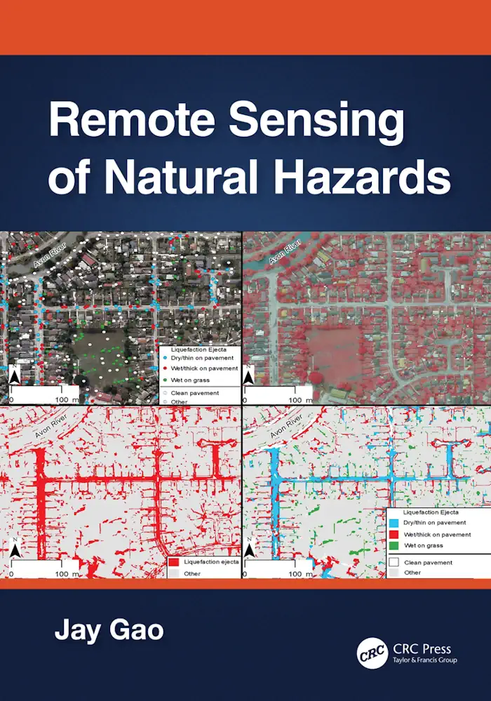
This book presents a comprehensive coverage of remote sensing technology used to gather information on 12 types of natural hazards in the terrestrial sphere, biosphere, hydrosphere, and atmosphere. It clarifies in detail how to yield spatial and quantitative data on a natural hazard, including its spatial distribution, severity, causes, and the likelihood of occurrence. The ...
routledge.com
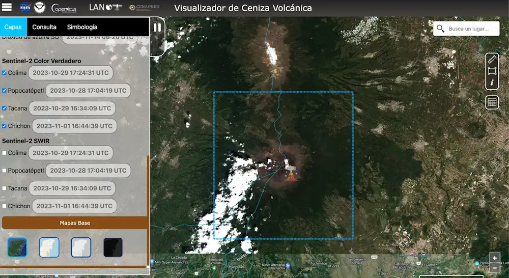
Investigadores De La UNAM Diseñan Algoritmo Capaz De Detectar Las Cenizas Del Volcán Popocatépetl

Investigadores De La UNAM Diseñan Algoritmo Capaz De Detectar Las Cenizas Del Volcán Popocatépetl

Investigadores de la UNAM, bajo la dirección del maestro en Geografía Víctor Manuel Jiménez Escudero, han desarrollado un algoritmo innovador que puede detectar con precisión las emisiones de ceniza provenientes del volcán Popocatépetl, conocido por su constante actividad, uno de los más dinámicos y vigilados del mundo. El Laboratorio Nacional de Observación de la Tierra ...
es.wired.com
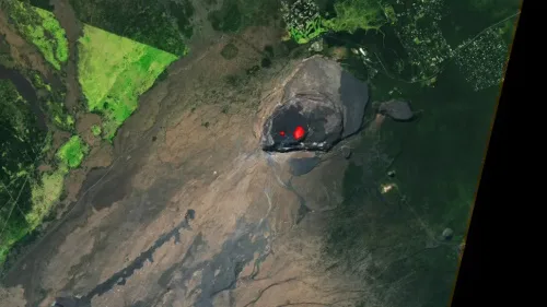
Satellite Spots Glowing Lava Inside Erupting Hawaiian Volcan

Satellite Spots Glowing Lava Inside Erupting Hawaiian Volcano

Lava and smoke shine brightly in a fresh satellite image of an erupting Hawaiian volcano. Kilauea, based on Hawaii’s Big Island nearby the volcano Mauna Loa, has been erupting again since Jan. 5 and its fresh activity glows in a Landsat 8 satellite image taken on Jan. 11. Activity extending from September 2021 to December ...
space.coml

Satellite Imagery Monitors World’s Largest Active Volcano Eruption In Hawaii

Mauna Loa volcano began erupting in Moku‘āweoweo Caldera on November 27, 2022. A long-feared Mauna Loa eruption has now disrupted several flights and triggered in an all-hands emergency response. As of now there are no mandatory evacuations in place, but shelters have opened to accommodate those opting to leave voluntarily. The eruption comes after months ...
geospatialworld.net
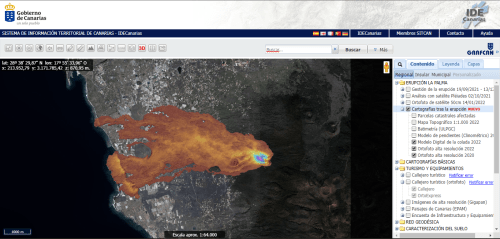
El Volcán Redefine El Mapa De La Palma

El Volcán Redefine El Mapa De La Palma

La Consejería de Transición Ecológica, Lucha contra el Cambio Climático y Planificación Territorial del Gobierno de Canarias, a través de la empresa pública Cartográfica de Canarias (Grafcan), ha publicado la actualización de los mapas de vegetación de las islas de Lanzarote y La Palma en el visor web de la Infraestructura de Datos Espaciales de ...
canarias7.es
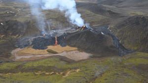
Mapping A Volcanic Eruption In The Backyard Of Iceland’s Capital

Mapping A Volcanic Eruption In The Backyard Of Iceland’s Capital

On 19 March 2021, the volcano Fagradalsfjall began to erupt, suggesting that volcanoes on Iceland’s Reykjanes Peninsula had awakened from an 800-year slumber. Although most volcanism in Iceland occurs in regions far from population centers, eruptions on the Reykjanes Peninsula can threaten residents. Pedersen and a team of scientists came together to create maps to ...
eos.org