NASA Flights Map Critical Minerals from Skies Above Western US
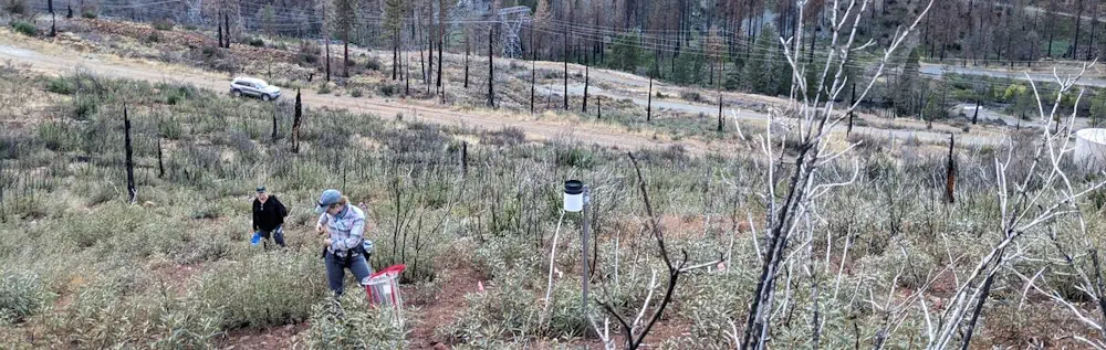
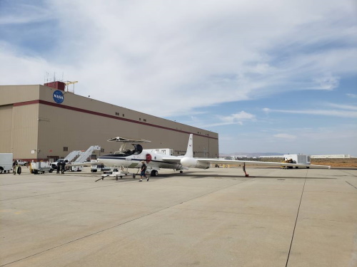
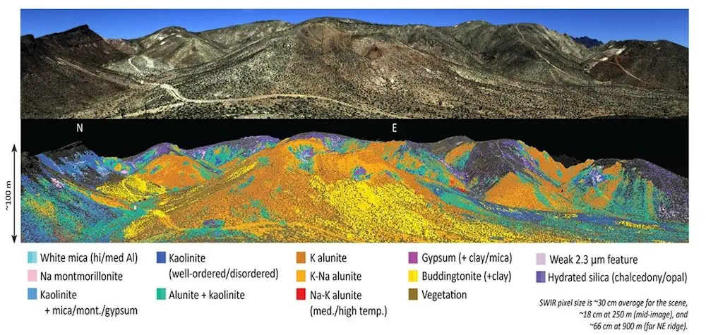
On a crystal-clear afternoon above a desert ghost town, a NASA aircraft scoured the ground for minerals. The plane, a high-altitude ER-2 research aircraft, had taken off early that morning from NASA’s Armstrong Flight Research Center in Edwards, California. Below pilot Dean Neeley, the landscape looked barren and brown. But to the optical sensors installed on the ...
science.nasa.gov