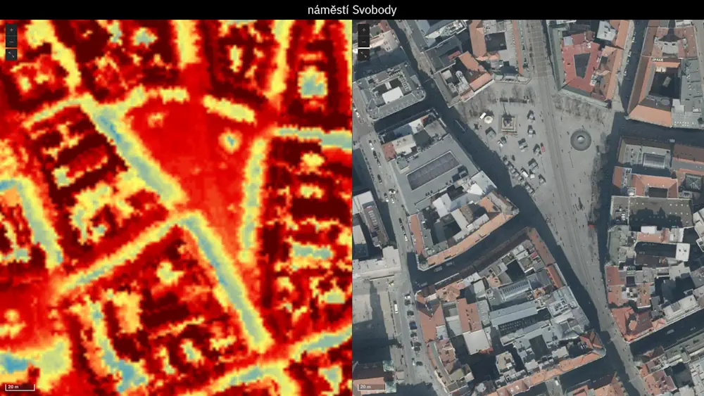
Wrocławskie Budynki Zeskanowane W Ramach Projektu NEEST
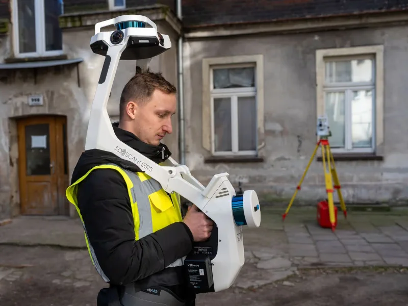
Ograniczanie zużycia energii i poprawa komfortu życia mieszkańców – to główne cele projektu NEEST, w którym bierze udział Wrocław. W ramach przedsięwzięcia trwa właśnie tworzenie modelu 3D zabudowy na obszarze między ul. Traugutta a Kościuszki. NEEST to unijny projekt badawczy, którego efektem mają być gotowe modele transformacji energetycznych budynków – nie tylko kamienic, ale również ...
geoforum.pl