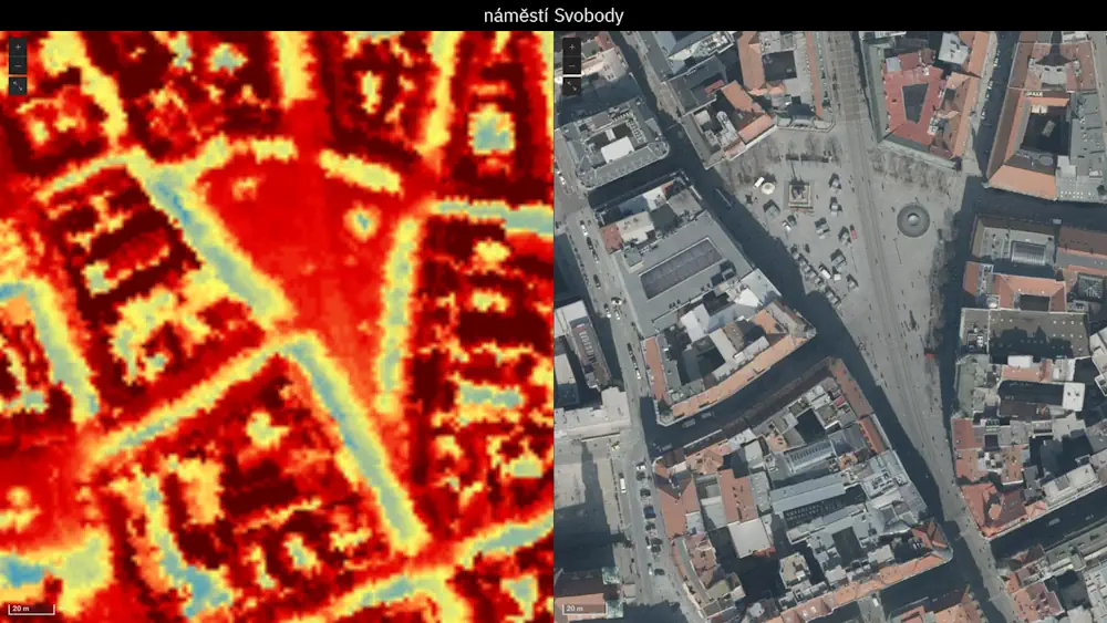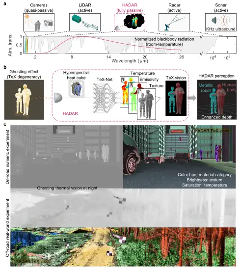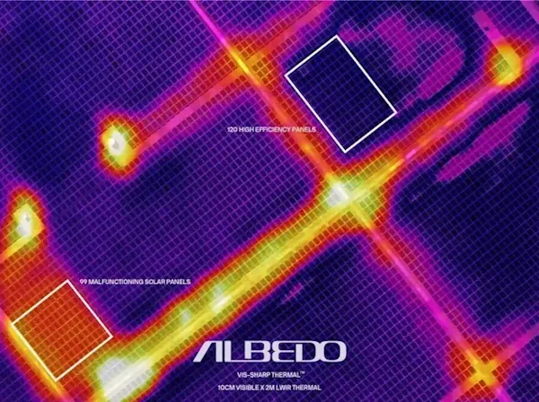
Thermal Imagery Sector Heats Up
British investment firm Seraphim Space surveyed the Earth observation sector a few years ago, categorizing startups by sensor type. Analysts determined that firms focused on electro-optical and synthetic aperture radar were advancing rapidly. Thermal imagery startups were not. “Much to our surprise, it was the only sensor area that didn’t have any companies that had ...
spacenews.com