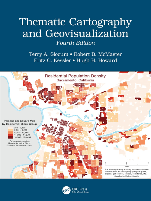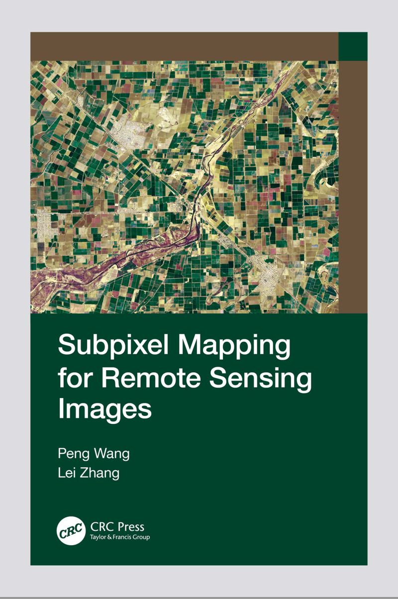
Subpixel Mapping for Remote Sensing Images
Subpixel mapping is a technology that generates a fine resolution land cover map from coarse resolution fractional images by predicting the spatial locations of different land cover classes at the subpixel scale. This book provides readers with a complete overview of subpixel image processing methods, basic principles, and different subpixel mapping techniques based on single ...
taylorfrancis.com