Geomaticians

Storm

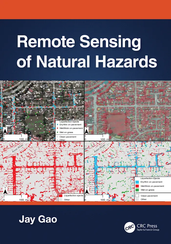
Remote Sensing of Natural Hazards

Remote Sensing of Natural Hazards

This book presents a comprehensive coverage of remote sensing technology used to gather information on 12 types of natural hazards in the terrestrial sphere, biosphere, hydrosphere, and atmosphere. It clarifies in detail how to yield spatial and quantitative data on a natural hazard, including its spatial distribution, severity, causes, and the likelihood of occurrence. The ...
routledge.com
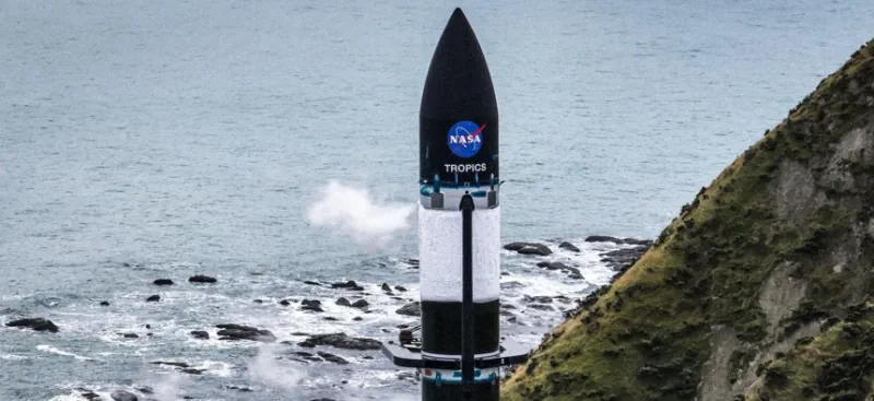
NASA, Rocket Lab Launch Tropical Storm Observing CubeSats

NASA, Rocket Lab Launch Tropical Storm Observing CubeSats

NASA and Rocket Lab launched two of the agency’s CubeSats on Sunday to study tropical cyclones with greater frequency than existing satellites, according to an agency announcement. The CubeSats were launched on an Electron Rocket from Rocket Lab’s Launch Complex in New Zealand at 9pm EDT on Sunday—or 1pm NZST on Monday. The launch was ...
nextgov.com
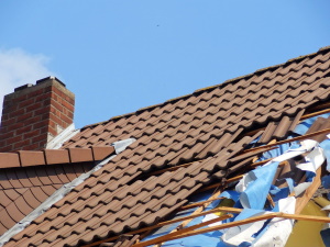
New Machine Learning Model Can Provide More Accurate Assessments Of Hurricane Damage For Responders

New Machine Learning Model Can Provide More Accurate Assessments Of Hurricane Damage For Responders

Emergency crews responding to hurricane-damaged areas may soon get an assist from a machine learning model that can better predict the extent of building damage soon after the storm passes. The model uses remote sensing from satellites that can generate building footprints from pre-hurricane images and then compare them with images taken after the storm. ...
techxplore.com