Geomaticians

Sentinel-1

AI Maps Icebergs 10,000 Times Faster Than Humans

AI Maps Icebergs 10,000 Times Faster Than Humans

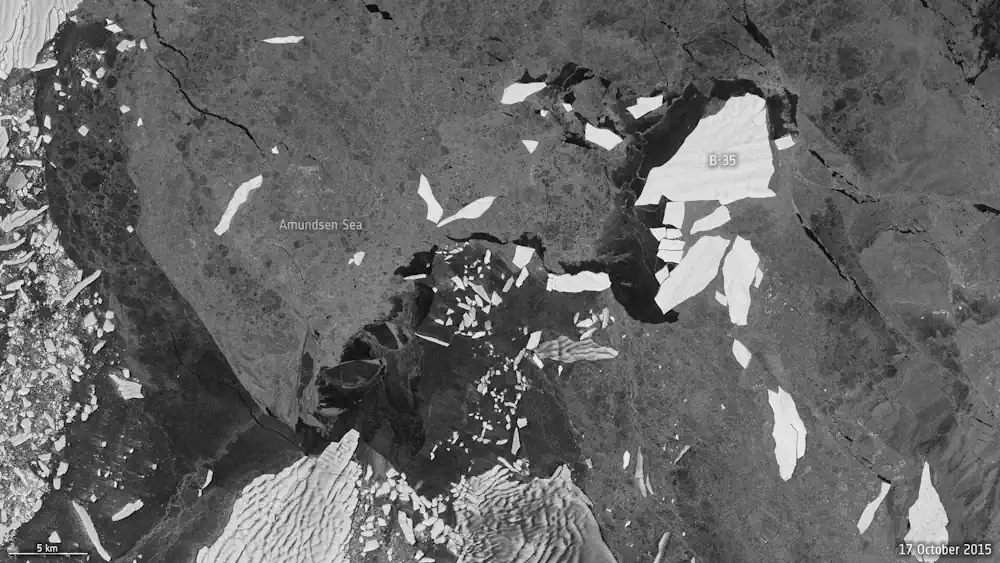
In a groundbreaking development, researchers from the University of Leeds have unveiled a neural network that can swiftly and accurately chart the expanse of large Antarctic icebergs in satellite images, accomplishing the task in a mere 0.01 seconds. This novel approach is in stark contrast to the laborious and time-consuming manual efforts needed previously. Anne ...
esa.int
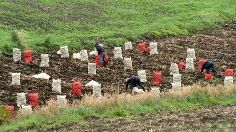
Imágenes Satelitales Ópticas Y De Radar, Claves Para El Monitoreo De Cultivos De Papa

Imágenes Satelitales Ópticas Y De Radar, Claves Para El Monitoreo De Cultivos De Papa

La producción de papa, uno de los tubérculos más importantes para la canasta básica diaria familiar de los colombianos, además de presentar desafíos como el incremento de los costos de transporte e insumos para su cultivo que afectan el bolsillo de los productores, es constantemente vulnerable a que la sobreoferta, producto muchas veces de la ...
agronegocios.co
NASA Researchers Measure Sinking Land In American Samoa

NASA Researchers Measure Sinking Land In American Samoa

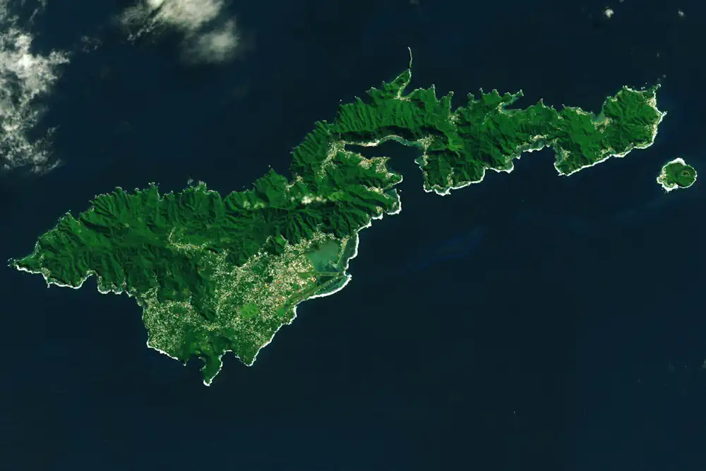
On Sept. 29, 2009, an 8.1-magnitude earthquake struck near American Samoa, Samoa, and Tonga, triggering a tsunami that caused human casualties and $200 million in property damage on the islands. The earthquake also exacerbated another problem in American Samoa: subsidence, or the sinking of land. When combined with relative sea level rise, land sinking can ...
phys.org

Dall’elaborazione Statistica Di Immagini Sentinel-2 Al Monitoraggio Quantitativo Della Siccità: Primi Risultati Di ISPRA

Nell’ambito della Convenzione Operativa ASI-ISPRA “Habitat Mapping” (2017-2021), l’Area Idrologia, Idrodinamica e Idromorfologia di ISPRA, in collaborazione con il Politecnico di Milano, ha sviluppato e implementato degli algoritmi e delle procedure per la mappatura e la classificazione degli alvei fluviali nelle tre componenti costitutive – superficie bagnata, vegetazione, sedimenti – a partire dalle immagini di ...
isprambiente.gov.it

ESA Ends Efforts To Recover Sentinel-1b

The European Space Agency is ending efforts to restore operations of the Sentinel-1B radar imaging satellite that malfunctioned more than half a year ago and will instead move up the launch of a replacement. ESA said in an Aug. 3 statement that the agency and the European Commission, partners on the Copernicus series of Earth ...
spacenews.com
ESA Makes Ground Motion Data Freely Accessible

ESA Makes Ground Motion Data Freely Accessible

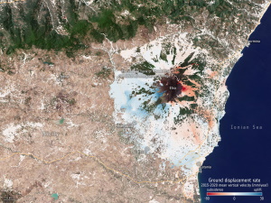
thanks to Europe’s environmental Copernicus program and the Sentinel-1 radar satellite mission, the first Europe-wide subsidence and soil movement analysis service is available to the public. The new European Ground Motion Service, the latest offering of the Copernicus Land Monitoring Service and implemented by the European Environment Agency, provides free and accessible ground motion data ...
phys.org