Geomaticians

SDI

El Municipio Veinticinqueño Se Suma A La Infraestructura De Datos Espaciales Bonaerense

El Municipio de 25 de Mayo se ha unido a la Infraestructura de Datos Espaciales de la Provincia de Buenos Aires (IDEBA), convirtiéndose en uno de los 30 miembros comprometidos con la gestión eficiente del territorio. A través de esta integración, tendrán acceso a una serie de recursos tecnológicos que facilitarán el seguimiento preciso de ...
lamanana.com.ar

MSPglobal 2.0 Is Co-Developing A Data Toolbox To Support Countries In Developing Their Own Spatial Data Infrastructure

On the 24th and 25th of April 2024, the MSPglobal 2.0 initiative facilitated an online workshop to consult experts on ocean data and Spatial Data Infrastructure. The project aims to co-develop a Data Toolbox to support countries in developing their own SDI for MSP. About 30 participants from across the globe joined the sessions to ...
ioc.unesco.org

Singapore Releases 10-Year Geospatial Master Plan

Singapore has launched its new Geospatial Master Plan (2024–33), the second iteration of the island state’s 10-year geospatial strategy. Led by the Singapore Land Authority (SLA) and the Maritime and Port Authority of Singapore (MPA), the Master Plan aims to “enable geospatial-enabled innovations to benefit more segments of society, while addressing the complex challenges Singapore ...
spatialsource.com.au

Conferenza Nazionale Di Geomatica E Informazione Geografica #ASITA2024 Primo Annuncio E Call For Abstract

ASITA è il luogo dove professionisti, docenti, ricercatori, tecnici e professionisti, soggetti istituzionali e territoriali, società commerciali e più in generale tutti coloro che operano nei diversi campi della Geomatica possono confrontarsi su temi specifici, promuovendo una visione multidisciplinare e integrata del settore della Geomatica nel tentativo di delineare le cosiddette “best practices” utili ad ...
rivistageomedia.it

Belarus To Create National Spatial Data Infrastructure

National spatial data infrastructure will be created in Belarus. The step is stipulated by the Council of Ministers’ resolution No.32 of 16 January 2024, BelTA has learned. The document has been published by the national legislation registry. It approves a regulation on the national spatial data infrastructure. The State Property Committee has been entrusted with ...
eng.belta.by
PBH Apresenta Base De Dados Urbanos Em Evento Diálogos Urbanos

PBH Apresenta Base De Dados Urbanos Em Evento Diálogos Urbanos

A Prefeitura de Belo Horizonte realizará nesta quarta-feira (27), às 14h, no Teatro Francisco Nunes, o evento Diálogos Urbanos para apresentar as plataformas de dados públicos sobre o planejamento urbano da capital. A intenção é publicizar as ferramentas e permitir a participação da sociedade nas discussões. O evento é destinado a professores, estudantes, pesquisadores e ...
prefeitura.pbh.gov.br
국토위성영상, 누구나 사용할 수 있도록 제공

국토위성영상, 누구나 사용할 수 있도록 제공

전문가부터 일반인까지 활용 가능한 국토위성 산출물을 9월 22일부터 국토정보플랫폼(map.ngii.go.kr)을 통해 누구나 사용할 수 있다. ’21년 10월부터 국토위성이 촬영한 영상은 위치정확도, 해상도 등이 보정된 위성정사영상으로 가공되어 국내 최초로 공공서비스를 하고 있음에도 불구하고, 여전히 위성영상 활용에 전문성과 많은 데이터 전처리가 요구되어, 누구나 편리하게 데이터에 접근하고 분석에 즉시 활용할 수 있는 기반을 마련해야 한다는 필요성이 제기되어 왔다. 새롭게 ...
eachj.co.kr

” المركز الاتحادي للمعلومات الجغرافية ” يطلق “أطلس الاتحاد” الأول من نوعه على مستوى الدولة

أعلن “ المركز الاتحادي للمعلومات الجغرافية ” إطلاق “ أطلس الاتحاد” الأول من نوعه على مستوى الدولة والذي يوفر قاعدة بيانات للمعلومات الجغرافية المكانية والإحصائية الموثوقة بهدف تمكين الجهات الحكومية والخاصة والقطاعات الحيوية في الدولة من تعزيز عملياتها ودعمها في مجال التخطيط المستقبلي، وذلك بما يتماشى مع المستهدفات الوطنية الرامية إلى تحقيق التنمية الشاملة على ...
wam.ae
OGC And Partners Release Marine SDI Roadmap

OGC And Partners Release Marine SDI Roadmap

The Open Geospatial Consortium (OGC) has released the first iteration the Integrated Geospatial Information Framework (IGIF)-M (Marine) Spatial Data Infrastructure (SDI) Maturity Roadmap for both marine and terrestrial domains. Developed as part of OGC’s ongoing Federated Marine Spatial Data Infrastructure (FMSDI) Initiative, the IGIF-(M)SDI Maturity Roadmap is a quick-start guide for nations and marine organizations ...
gpsworld.com
Hacia La Democratización De La Información Geográfica

Hacia La Democratización De La Información Geográfica

El Centro de Fotogrametría, Cartografía y Catastro (CEFOCCA) de la Facultad de Ingeniería de la UNSJ ha preparado, en el marco de su 50 aniversario, una serie de actividades de extensión y difusión. Este martes 15 de agosto hubo en el Edificio Central de la UNSJ una conexión interactiva con el Dr. Ever Castillo Osorio, ...
unsj.edu.ar

FGIC Launches The National Geospatial Features Catalogue

The Federal Geographic Information Center (FGIC) announced the launch of the National Geospatial Features Catalogue, which will contribute to the creation of a strategic data guide to facilitate the exchange of geographic information at a national level between federal and local government entities on one side and the private sector on the other. The National ...
zawya.com

유라시아 7개국 공간정보 인프라 구축·협력 강화

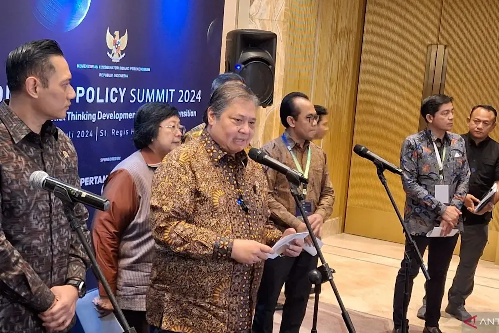
국토교통부는 유라시아 공간정보인프라(ESDI) 협의체 회원국들 간 공간정보 분야 국제협력 강화 및 인프라 확산을 위해 9월21일부터 22일까지 타지키스탄 두샨베(Tajikistan Dushanbe)에서 열리는 제8차 ESDI 콘퍼런스에 한국 대표단을 파견했다고 23일 밝혔다. ESDI는 유라시아 공간정보인프라 구축 및 확산을 목적으로 한국을 비롯해 타지키스탄, 키르기스스탄, 카자흐스탄, 우즈베키스탄, 벨라루스, 몽골 등 유라시아 6개국으로 구성된 협의체다. 한국 대표단은 공간정보 관련 주무 기관인 국토지리정보원을 ...
cm.asiae.co.kr