Geomaticians

Radar

School Of Geosciences Professor Leads Permafrost Thaw Study

School Of Geosciences Professor Leads Permafrost Thaw Study

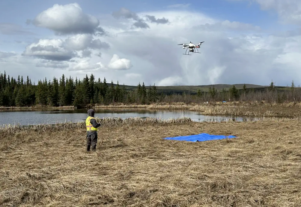
A research initiative, funded by NASA and the Army Corps of Engineers, is underway to study permafrost thaw in Alaska and its significant impacts on the environment. This project aims to understand the landforms created by thawing permafrost, how it affects methane emissions and whether the rate of permafrost thaw is accelerating. Leading this research ...
usf.edu
Aerial System Obtains Glacier Data

Aerial System Obtains Glacier Data

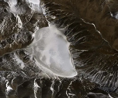
The Chinese Academy of Sciences and Wuhan University are conducting a sky-ground scientific experiment to test the condition of glaciers in the Haibei Tibetan autonomous prefecture in Northwest Qinghai province. The experiment has applied radars in three bands — P-band, L-band and Very High Frequency — and undertaken 11 flights, among which seven carried out ...
chinadaily.com.cn
Using Satellites To Track Groundwater Depletion In Californi

Using Satellites To Track Groundwater Depletion In California

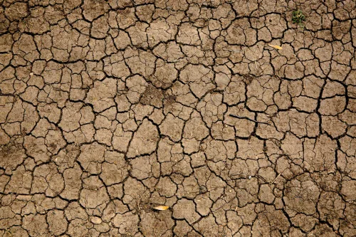
Combined with California’s large population, long history of drought and tendency to be battered by nearly every form of climate change, massive groundwater pumping is aggravating water scarcity, said Xuechen Yang, lead author of the case study and a graduate student in earth sciences at The Ohio State University. “By 2025, more than 5 billion ...
scienceblog.com
New Mobile Mapping System Integrates Underground Radar And 3D Digital Twin Creation

New Mobile Mapping System Integrates Underground Radar And 3D Digital Twin Creation

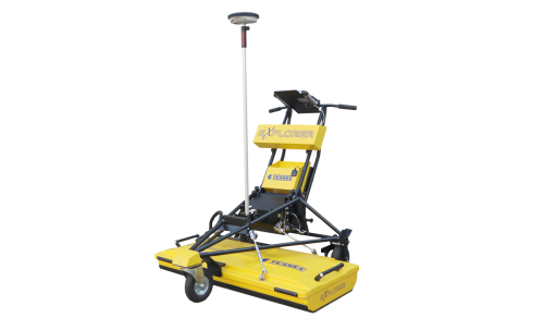
Tesmec’s mobile mapping system, announced at bauma 2022, is a lidar scanner that is designed to be placed atop their georadar explorer 2.0, a ground probing radar system. With this attachment on the top of the radar system, users are able to detect underground utilities using the ground probing radar while simultaneously capturing high-precision digital ...
geoweeknews.com

Surveillance Satellitaire : Unseenlabs S’associe À Un Spécialiste De L’analyse Géospatiale

La société française Unseenlabs, spécialisée dans les nano-satellites de géolicalisation, vient de conclure un partenariat avec Ursa Space Systems, un spécialiste de l’analyse géospatiale, pour fournir des solutions visant à la surveillance des espaces maritimes, dans un but de sûreté et de sécurité maritime. Ce nouveau partenariat vise à permettre permet d’améliorer la surveillance du ...
meretmarine.com

Synspective’s Third SAR Satellite “Strix-1” Successfully Reaches Target Orbit

Synspective Inc., a SAR satellite data and solutions provider, announced today that StriX-1, its third SAR satellite, has successfully been put into its target orbit. On September 16 (JST), StriX-1 was deployed by Rocket Lab’s Electron at Rocket Lab Launch Complex 1 on New Zealand’s Mahia Peninsula. The satellite was put into its target orbit: ...
geospatialworld.net

Leading Space Innovators Join Forces To Create World’s First Satellite With Both SAR And Optical Payloads To Revolutionize Geospatial Imaging

Antaris, the software platform provider for space, and GalaxEye, an imaging satellite operator, today announced the signing of a Memorandum of Understanding to create the world’s first satellite featuring both SAR and optical sensors on a single satellite. The MOU highlights a unique commitment between three Indian space leaders—GalaxEye, Ananth Technologies and XDLINX Labs—and US-based ...
spaceref.com

ICEYE To Provide Radar Imaging Satellite For BAE Systems

ICEYE, the global leader in persistent monitoring with radar satellite imaging, is partnering with BAE Systems to provide advanced Synthetic Aperture Radar (SAR) technology as part of BAE Systems’ new multi-sensor satellite cluster launching in 2024. Known as Azalea™, this group of Earth sensing satellites will use a range of instruments to collect visual, radar, ...
geospatialworld.net