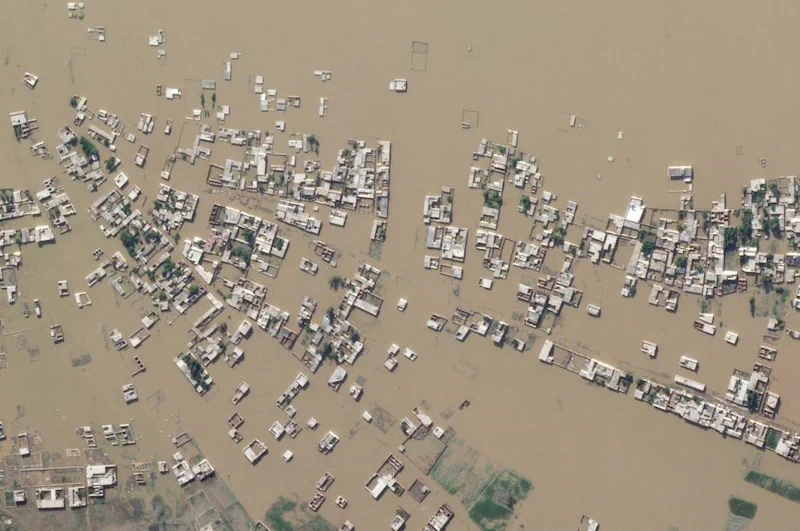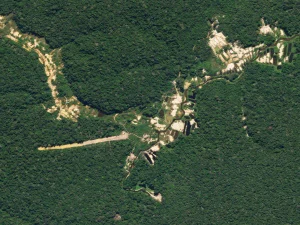
Geospatial Technology Helps In The Fight Against Environmental Crimes In Brazil
The size and complexity of the Brazilian territory, especially in the Amazon region, has historically plagued institutions, like the country’s Federal Police, with challenges around effective response to environmental crimes and illicit activities. To improve their operations, these agencies needed a remote sensing dataset that would complement their field work, allowing them to take timely ...
planet.com