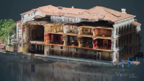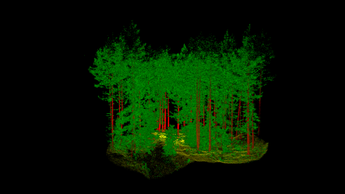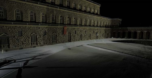
Fotogrametría, El Patrimonio Madrileño En 3D
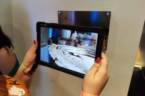
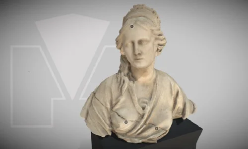
La Biblioteca Digital memoriademadrid está de estreno. ‘Fotogrametría’ es una sección de ‘EsConD: Gabinete de humanidades digitales’, que, desde la web de la biblioteca, te quiere acercar piezas del patrimonio cultural de la ciudad para que las conozcas y aprecies todos sus detalles desde diversos ángulos y desde cualquier lugar, de forma interactiva. ¿Imaginas tener ...
diario.madrid.es