Geomaticians

Ordnance Survey

Mapping Ireland UL Researchers Create New Ordnance Survey Digital Heritage Resource

Mapping Ireland: UL Researchers Create New Ordnance Survey Digital Heritage Resource

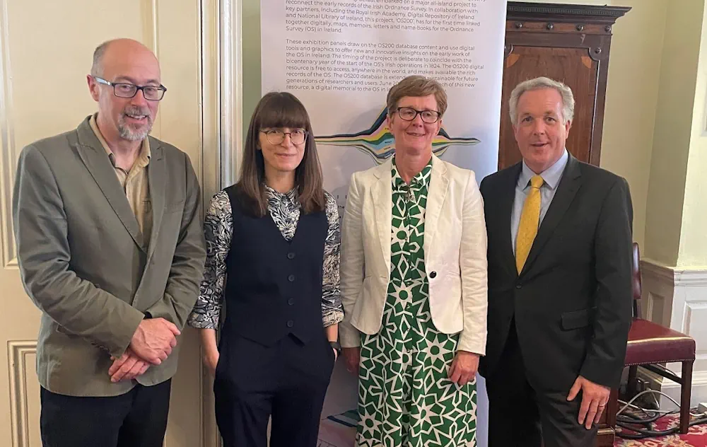
Researchers at University of Limerick have created a new digital heritage resource centred on the early years of the Ordnance Survey in Ireland. Marking two-hundred years since the beginnings of the first Ordnance Survey of Ireland, the ‘OS200—Digitally Re-Mapping Ireland’s Ordnance Survey Heritage’ project gathered historic Ordnance Survey (OS) maps and texts, held in disparate ...
ul.ie

New PSGA Data Will Help Speed Up Emergency Response Times

A new selection of location datasets, including two new products, have been released today (Thursday 28 March) as part of the Public Sector Geospatial Agreement (PSGA). The new data and products have been delivered by Ordnance Survey (OS) and are set to support customers across a range of markets, including the emergency services, sustainability, land ...
gov.uk

Launch Of The Geospatial Innovation Awards 2024

Geovation, Ordnance Survey’s (OS) award-winning open innovation hub, has opened nominations for round two of its Geospatial Innovation Awards to showcase the best in geospatial innovation and the impact it has on people, places and planet. The 2024 awards, which are open to international entries, build on the success of the inaugural awards earlier this ...
directionsmag.com

Ordnance Survey Reveals Top Map Symbol Requests

Ordnance Survey (OS) has revealed the top four new symbols people would like to see added to its leisure maps following a survey. The Southampton-based mapping agency said, of more than 2,400 responses, the top symbol more than half want added is gate and stile fence crossings. Nick Giles, managing director of Ordnance Survey Leisure ...
bbc.com
New Map Gives Insight Into Ireland’s Land Cover Types

New Map Gives Insight Into Ireland’s Land Cover Types

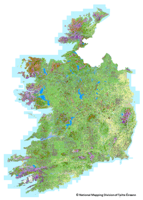
Data from a new map has provided up-to-date insights on the types of land in Ireland, and how much of the country is covered by each of them. Ordinance Survey Ireland (OSI) and the Environmental Protection Agency (EPA) started a new national land cover mapping programme in 2018. The work was completed in September 2022, ...
agriland.ie
Dubai Municipality, Ordnance Survey Sign Geospatial Agreements

Dubai Municipality, Ordnance Survey Sign Geospatial Agreements

Dubai Municipality has signed two contracts with Ordnance Survey, Great Britain’s national mapping agency, to benefit from global geospatial expertise and support teams working in monitoring activities, buildings permits, survey services, executive planning, and geographic information systems. Paul French, Ordnance Survey chief commercial officer, said: “Dubai Municipality is at an exciting time in expanding its ...
gulfnews.com