Geomaticians

Oil

Sri Lanka To Cooperate With Foreign Company For Real-time Satellite Imagery On Oil Spills

Sri Lanka’s cabinet has approved a proposal to sign a memorandum of understanding with a foreign company for real-time satellite imagery on oil spills, an official told reporters on Tuesday. Cabinet spokesman Bandula Gunawardena said the number of ships operating in Sri Lankan territorial waters is increasing due to the growth of shipping and port ...
english.news.cn
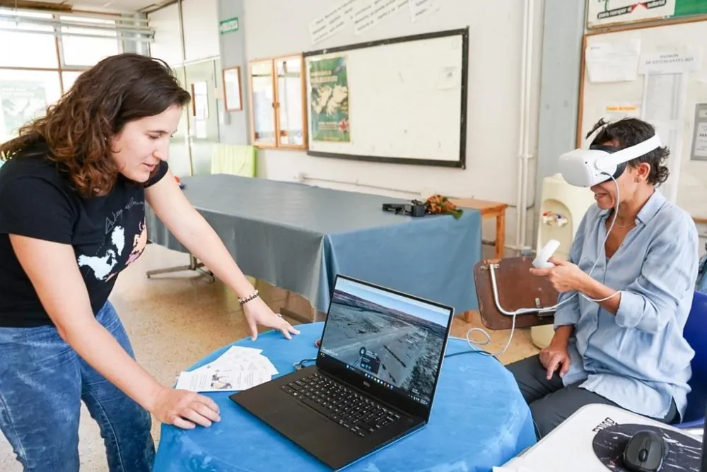
Estudian Con Realidad Virtual El Impacto Del Fracking En Vaca Muerta

Estudian Con Realidad Virtual El Impacto Del Fracking En Vaca Muerta

El impacto de la industria petrolera en Vaca Muerta y el avance del fracking en las zonas productivas se investiga y mide en la región. Van identificando las áreas de riesgo. El uso de realidad virtual fue el gran atractivo. La mayoría de los participantes se colocaron los anteojos y navegaron la Cuenca del Comahue. ...
rionegro.com.ar
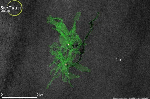
22,000 Tonnes Of Oil Spilled In UK Waters Since 2017

22,000 Tonnes Of Oil Spilled In UK Waters Since 2017

Over 22,000 tonnes of oil have been released into UK waters by the oil and gas industry in the last five years, according to new FOI data obtained by Oceana and Uplift. The data coincides with the launch of In Deep Water, the first-ever comprehensive review of how the oil and gas industry is damaging ...
oceana.org

IOGP Releases Land Survey Data Model

The International Association of Oil and Gas Producers has released its Land Survey Data Model (LSDM), continuing the practice of its Geomatics Committee of maintaining an “out-of-the-box” data model template to manage survey data within a geodatabase. The LSDM is an industry standard template for operators to maintain land survey data, mainly acquired for the ...
jpt.spe.org
KOC Project To Implement GIS System For Map Charting

Kuwait Oil Company (KOC) is enhancing the quality and accuracy of the data used for daily planning to support production operations and the decision-making process for the implementation of current and future projects. This was done by contracting with one of the international companies specialized in this field. This project, for the first time since ...
geospatialworld.net