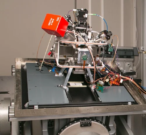
Quantum Sensors For GPS-Free Orientation
The ideal inertial sensor for navigation must, on the one hand, emit signals continuously at a high rate, and on the other, remain precise and sensitive over extended periods. Classic inertial sensors do meet the first criterion, but they err over time. Conversely, quantum sensors are extremely precise and sensitive, but measures are accompanied by ...
phys.org