Geomaticians

Multispectral

Novel Frequency-Adaptive Methods Enhance Remote Sensing Image Processing

Novel Frequency-Adaptive Methods Enhance Remote Sensing Image Processing

Researchers led by Prof. Xie Chengjun and Associate Prof. Zhang Jie at the Hefei Institutes of Physical Science of the Chinese Academy of Sciences have developed a novel deep learning-based method for satellite imagery. Their method, called the Frequency-Adaptive Mixture of Experts Network (FAME-Net), has been accepted for publication in the 2024 Proceedings of the ...
techxplore.com
Open Cosmos’ MANTIS Satellite Prepped For Upcoming Launch

Open Cosmos’ MANTIS Satellite Prepped For Upcoming Launch

MANTIS was successfully integrated with its EXOpod Nova deployment system in Berlin, provided by Exolaunch as part of their mission management and integration service, prior to completing its integrations with SpaceX’s Falcon 9 before lift-off from Vandenberg Space Force Base. MANTIS, which stands for Mission Agile Nanosatellite for Terrestrial Imagery Services, will be the first ...
news.satnews.com

Iran Prepares New Satellite For Launch

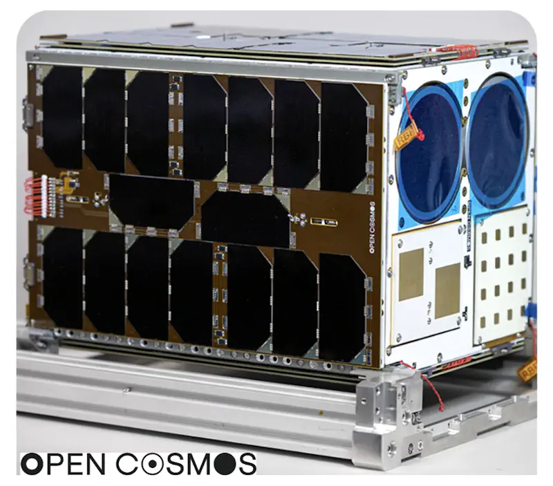
The “Tolu’-3” (Sunrise-3) satellite, manufactured by Iran Electronics Industries, a subsidiary of the Iranian Defense Ministry, was delivered to the Space Organization on Saturday after passing the final tests. The homegrown satellite weighs over 100 kilograms and offers a resolution of 5 meters in panchromatic mode and 10 meters in multispectral mode. Tolu’-3 will be ...
tasnimnews.com
Diffractive Optical Network Enables Snapshot Multispectral Imaging

Diffractive Optical Network Enables Snapshot Multispectral Imaging

UCLA researchers led by Aydogan Ozcan and Mona Jarrahi have developed a multispectral imaging technology capable of turning a monochrome sensor into a multispectral one. Rather than the traditional absorptive filters used for multispectral imaging, the technology uses a diffractive optical network to form 16 unique spectral bands periodically repeating at the output image field ...
photonics.com
Unveiling Italy’s Hidden History With Fixed-wing Mapping UAVs

Unveiling Italy’s Hidden History With Fixed-wing Mapping UAVs

Mapping an archaeological site is key to being able to dig with greater precision. Now with the latest digital methods, areas of interest can easily be identified rapidly and non-invasively – helping to protect the site and future excavations. Here, Chris Thompson, Global Sales Manager at AgEagle, looks at how a team of Duke University ...
gim-international.com

Using Sentinel-2 Data For Seawater Quality Monitoring

In an article published in the journal Remote Sensing, the researchers used Sentinel-2/Multispectral Instrument (MSI) imagery data to a calibrated ocean chlorophyll 2-band (OC-2) model to retrieve chlorophyll-a (chl-a) concentration in the Ha Long bay from 2019 to 2021. Using Sentinel-2 MSI photos on the Google Earth Engine (GEE) platform, this study examines the anthropogenic ...
azooptics.com