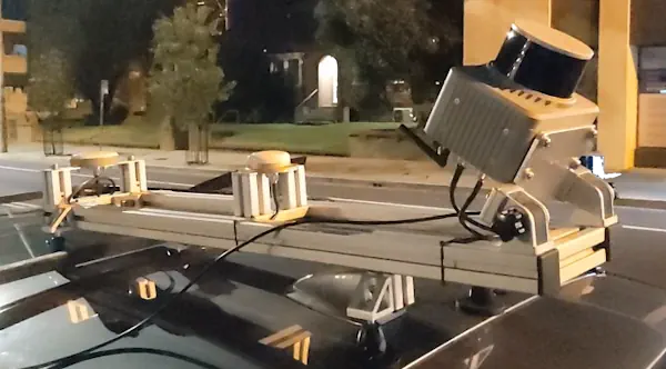
Geomaticians

MMS

Klau Geomatics Introduces Brumby Mobile Mapping System

Klau Geomatics Introduces Brumby Mobile Mapping System

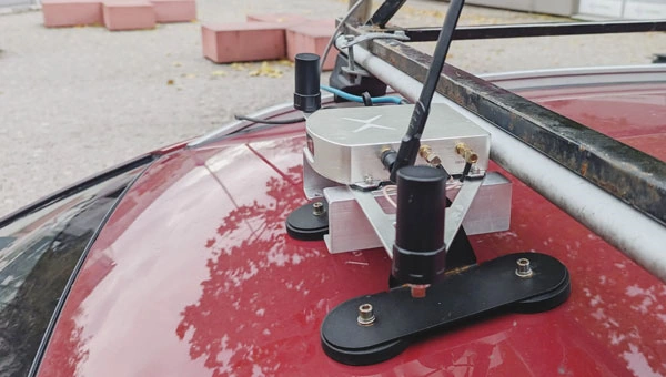
Klau Geomatics has introduced the Brumby RTK Lidar system, an innovative mobile mapping solution equipped with powerful Edge Compute capabilities, enabling the generation of highly precise georeferenced point clouds in real time. Brumby can be deployed on drones, light aircraft or as a mobile mapping system (MLS). It processes data into a georeferenced point cloud ...
gim-international.com
Mosaic, Movella Improve Mobile Mapping And Geospatial Analysis

Mosaic, Movella Improve Mobile Mapping And Geospatial Analysis

Mosaic and Movella have collaborated to combine the Mosaic 51 and Mosaic X camera systems with Movella’s Xsens Vision Navigator (XVN). The collaboration aims to bolster GIS platform integration and allow for extensive and precise 3D reconstruction. It uses inertial measuring unit (IMU) data generated by XVN and directly connects to the OBD port. The ...
gpsworld.com
Wrocławskie Budynki Zeskanowane W Ramach Projektu NEEST

Wrocławskie Budynki Zeskanowane W Ramach Projektu NEEST

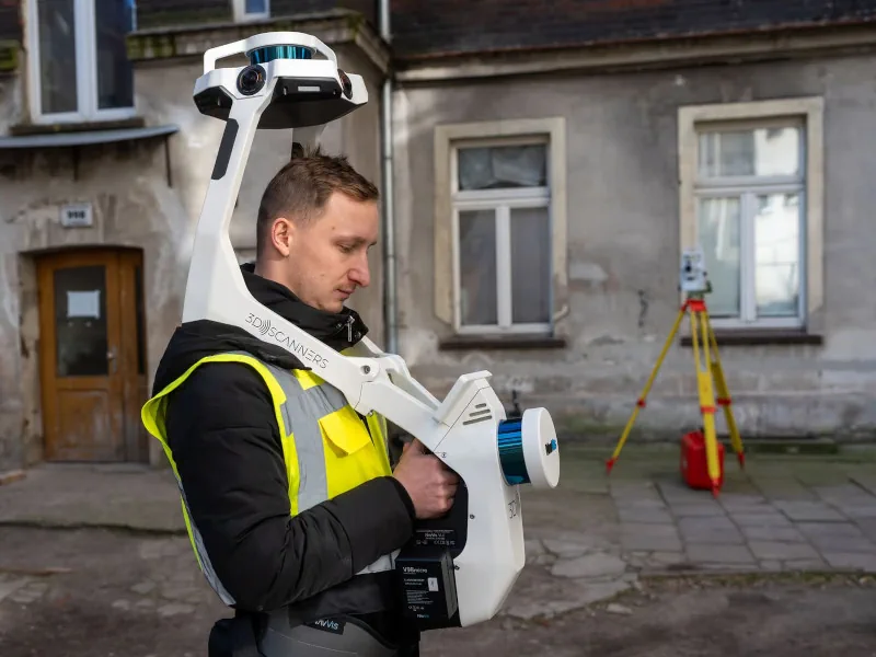
Ograniczanie zużycia energii i poprawa komfortu życia mieszkańców – to główne cele projektu NEEST, w którym bierze udział Wrocław. W ramach przedsięwzięcia trwa właśnie tworzenie modelu 3D zabudowy na obszarze między ul. Traugutta a Kościuszki. NEEST to unijny projekt badawczy, którego efektem mają być gotowe modele transformacji energetycznych budynków – nie tylko kamienic, ale również ...
geoforum.pl

A Mission To Add Guernsey To Google Street View

Aman who received a 360-degree camera as a gift has taken it upon himself to incorporate his neighbourhood in Guernsey into the Google Street View online map, according to a BBC report. According to Guernsey’s Office of the Data Protection Authority (ODPA), Google deployed cars on the island for the Street View service in 2010. ...
gim-international.com
CHCNav Introduces Alphauni 20 Lidar System

CHCNav Introduces Alphauni 20 Lidar System

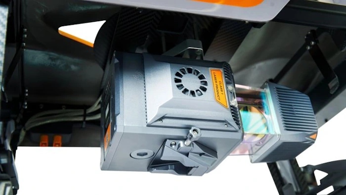
The AlphaUni 20 (AU20) Lidar system represents a new era in cost-effective, multi-platform mobile mapping solutions, according to CHC Navigation (CHCNav), a global leader in precision mapping, positioning and navigation technologies. Harnessing the power of six years of innovation and product development fuelled by CHCNAV’s Lidar technology, the AU20 is aimed at redefining mobile mapping ...
gim-international.com
El Joven Que Da A Conocer A La Patagonia Con Google Maps

El Joven Que Da A Conocer A La Patagonia Con Google Maps

Claudio Garrido es un joven estudiante de Técnico en Turismo y Naturaleza de la Universidad Austral de Chile, coyhaiquino que emprende con “360° Future View”, un proyecto que busca contribuir a la comunidad regional y al futuro turista con la actualización de mapas en la región, mediante Google Maps. Este joven emprendedor, prepara su equipamiento, ...
diarioregionalaysen.cl
Hightech-quad Erfasst Den Zustand Des Straßenfernen Radwegenetzes In Dortmund

Hightech-quad Erfasst Den Zustand Des Straßenfernen Radwegenetzes In Dortmund

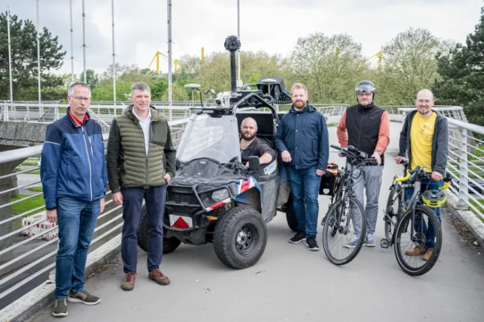
Vollbepackt mit Kameras, Scannern und Sensoren befährt ein spezielles Quad ab der kommenden Woche bis Ende Juni Dortmunds straßenferne Radwege. Dieses Fahrzeug ist unterwegs, um möglichst viele Details zum Zustand der Radwege zu dokumentieren. Die Informationen fließen nicht nur in die Arbeit des Tiefbauamts ein, sondern auch das Vermessungs- und Katasteramt wird damit die vorhandenen ...
dortmund.de

NavVis Releases VLX 3 Mobile Mapping System

On Tuesday, NavVis, one of the leaders in wearable mobile mapping technologies, unveiled their next generation of wearable technology, the NavVis VLX 3. This is, as the name implies, the third generation of their wearable VLX system, with the NavVis VLX 2 having been released almost two years ago in July of 2021. In their ...
geoweeknews.com
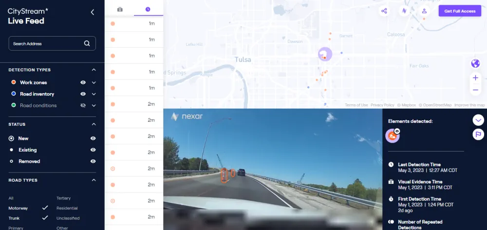
Nexar Revolutionizes Map-Making With 40x Reduction In Real-time Mapping Costs

Nexar Revolutionizes Map-Making With 40x Reduction In Real-time Mapping Costs

Nexar, the leading real-time mapping company, announced today it has achieved a dramatic 40x reduction in the cost of real-time mapping by leveraging cutting-edge technologies, edge AI, change detection and crowdsourcing. As a result, Nexar’s CityStream Live platform is making real-time mapping data more accessible to the mobility industry than ever before. Nexar dramatically reduces ...
prnewswire.com