Geomaticians

Mining

Australia To Spend A$566m On Mapping Out Resource Deposits

Australian Prime Minister Anthony Albanese has announced an investment of A$566-million over the next decade to bolster geoscientific research across the nation. The Geoscience Australia-led initiative, welcomed by industry bodies such as the Minerals Council of Australia (MCA) and the Association of Mining and Exploration Companies (Amec), aims to unlock the vast potential of Australia’s ...
miningweekly.com
Brazil Looking To Improve Geological Mapping System For Mining

Brazil Looking To Improve Geological Mapping System For Mining

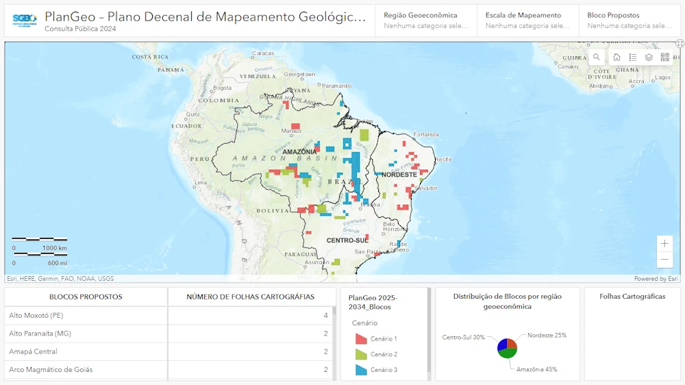
The Brazilian geological survey department, SGB, launched a public consultation to improve the country’s geological mapping system for the mining sector. The public consultation will be open until June 15. “This action is part of the 10-year basic geological mapping plan (PlanGeo) and is aimed at receiving proposals from the mining sector and civil society ...
bnamericas.com
Global Atlas For Pumped Hydro At Mining Sites

Global Atlas For Pumped Hydro At Mining Sites

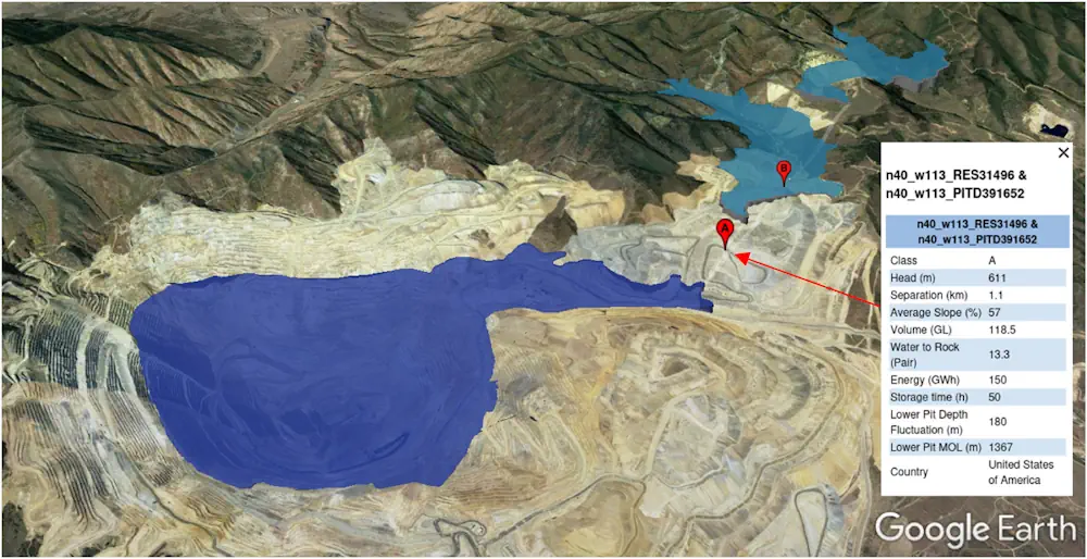
Researchers at the Australian National University (ANU) have created a global atlas for potential pumped hydro storage sites located in former mining areas. “Mining sites can be shaped during the end stages of mining to form a pumped hydro reservoir,” the scientists explained, noting that mining sites are often located close to the power network ...
pv-magazine.com

La Universidad Nacional De La Plata Trabaja Con Nación En El Aprovechamiento Del Litio Como Recurso Natural Estratégico

El vicepresidente del Área Académica de la Universidad Nacional de La Plata (UNLP), Fernando Tauber, se reunió en la Ciudad de Buenos Aires con la titular de la secretaría de Minería de la Nación, Flavia Royón, para aportar el conocimiento y experiencia de la Casa de Estudios en el aprovechamiento del litio como recurso natural ...
infoblancosobrenegro.com

Azerbaijan Elaborates A Map Of Armenia’s Mining Industry

A map of Armenia’s mining industry is being elaborated in Azerbaijan, Chairman of the Public Association of Cartographers of Azerbaijan Mugabil Bayramov said, Trend reports. He mentioned that 40 percent of the map has already been elaborated at the moment. “The map is being prepared in two formats. It will be used to find out ...
en.trend.az
We Are Not Tracking The Impact Of Half The World’s Mines

We Are Not Tracking The Impact Of Half The World’s Mines

A modern, sustainable society depends on the mining industry to supply crucial materials. Batteries and electric vehicles require metals like lithium and cadmium, wind turbines require rare earth metals and our cities need aggregate materials like gravel and sand for construction. On the other hand, the mining industry also produces materials like coal which are ...
pursuit.unimelb.edu.au

U.S. Gathers Experts To Tackle Illegal Mining In Ghana

The U.S. Department of State, the U.S. Embassy Ghana, and the University of Mining and Technology (UMaT), Tarkwa are convening mining stakeholders from across Ghana to brainstorm tech-enabled solutions to illegal mining. As part of “Tech Camp Takoradi” this week, fifty stakeholders including representatives of mining communities and companies, scientists and innovators, policymakers, environmental activists, ...
gh.usembassy.gov
Andalucía Dispone De Un Mapa De Minerales Críticos Claves Para El Desarrollo De Las Tecnologías Limpias

Andalucía Dispone De Un Mapa De Minerales Críticos Claves Para El Desarrollo De Las Tecnologías Limpias

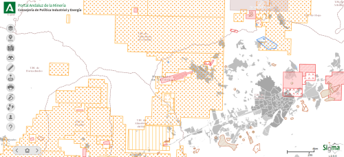
El nuevo mapa de los minerales críticos existentes en el territorio de Andalucía, el primero de estas características en España, ofrece una fotografía actualizada de las materias primas que resultan fundamentales en el desarrollo de las nuevas tecnologías limpias. La herramienta identifica en suelo andaluz zonas susceptibles de aprovechamiento de 17 sustancias consideradas estratégicas en ...
smartgridsinfo.es

México Lanza Plataforma Para Monitorear El Uso Del Agua En La Minería

El Gobierno mexicano lanzó este martes el Sistema de Información Geográfica (SIG), denominado “Agua y Minería”, con el que planea mejorar el uso del agua y monitorear la relación que tiene la actividad minera con los acuíferos de México. La nueva plataforma pública fue desarrollada por el IMTA y recupera información del Registro Público de ...
swissinfo.ch

Esri & Texmin Sign MOU, Research And Innovation In Mineral Exploration Key Focus

Esri India and the TEXMiN Foundation have signed a Memorandum of Understanding (MoU) to establish a Geospatial Excellence Center at the Indian Institute of Technology (Indian School of Mines), Dhanbad. Esri India is the nation’s top provider of Geographic Information System (GIS) Software & Solutions. The research and innovation in spatial analytics & remote sensing ...
egov.eletsonline.com

Synspective And Insight Terra Announce Space-enabled Data And Monitoring Solution For Mine Tailings Facilities

Synspective, a Tokyo based SAR (synthetic aperture radar) satellite data and solutions provider, and Insight Terra, a London based start-up providing a cloud based environmental and infrastructure risk management platform and solutions, have entered into a strategic partnership to deliver a new space enabled data and monitoring solution for the mining industry. The solution uses ...
realwire.com

پرنده‌های ثابت‌بال به کمک معدنکاران می‌آیند

از سال ۲۰۱۴ ، استفاده از پهپاد در نقشه‌برداری معدنی رایج شد و کم‌کم جای خود را در فعالیت‌های اکتشافی باز کرد. ظهور این پرنده‌ها امکانی فراهم آورده تا در عرض چند ساعت و با کسری از هزینه نسبت به روش‌های مرسوم، نقشه‌هایی با وضوح بالا تهیه شود. امروزه بسیاری از فعالیت‌های ابتدایی در نقشه‌برداری ...
gostaresh.news