Geomaticians

Microsoft

Overture Maps Foundation Releases The First Beta Of Its Open Map Dataset

The Overture Maps Foundation today launched the first beta of its global open map dataset. With this, the foundation, which is backed by the likes of Amazon, Esri, Meta, Microsoft and TomTom, is getting one step closer to launching a production-ready open dataset for developers who need geospatial data to power their applications. “This Beta ...
techcrunch.com
Microsoft, Siemens Join Forces To Standardize Digital Twin Languages

In a collaborative move with the W3C Consortium, Siemens and Microsoft have announced their commitment to converge the Digital Twin Definition Language (DTDL) with the Thing Description standard from international standards organization, W3C. By unifying both languages, customers are offered consistent modeling experiences, mitigating fragmentation in an evolving IoT landscape. With customers typically deploying a ...
thefastmode.com
IHME, Microsoft, And Planet Collaborate To Map Climate-Vulnerable Populations In Unprecedented Detail

IHME, Microsoft, And Planet Collaborate To Map Climate-Vulnerable Populations In Unprecedented Detail

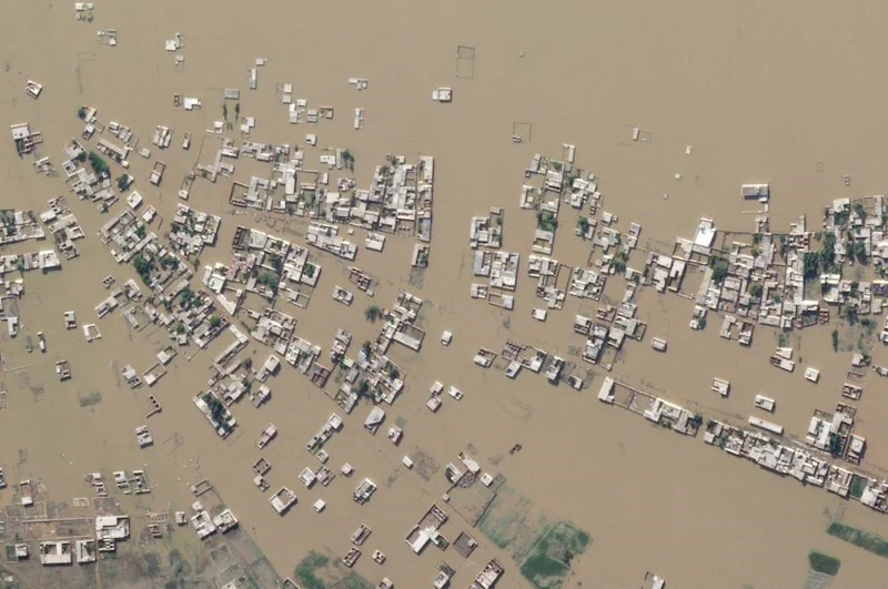
Climate change intensifies disasters, which drives displacement. That can, among many impacts, push internally displaced people from rural areas into urban slums. That in turn raises the risks of forced evictions and secondary urban displacement, as well as increased risks of public health crises, and so on, in a dispiriting causal chain. Knowing, in detail, ...
planet.com
Microsoft And Esri To Speed Up Access To Earth-Observation Data

Microsoft And Esri To Speed Up Access To Earth-Observation Data

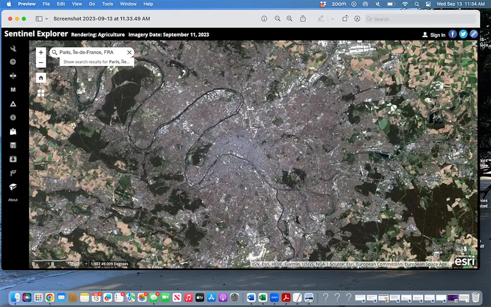
To speed up access to Earth observation data for millions of customers, Esri is closely integrating its ArcGIS geographic mapping platform with Microsoft Azure Space. “We’re putting the entire technology stack in Azure Space data centers,” Richard Cooke, Esri, imagery and remote sensing director, told SpaceNews at the World Satellite Business Week conference here. “We ...
spacenews.com

Meta, Microsoft, AWS And TomTom Launch The Overture Maps Foundation To Develop Interoperable Open Map Data

The Linux Foundation has partnered with some of the world’s biggest technology companies to develop interoperable and open map data, in what is a clear move to counter Google’s dominance in the mapping realm. The Overture Maps Foundation, as the new effort is called, is officially hosted by the Linux Foundation, but the program is ...
techcrunch.com

Microsoft Invites Agritech Players Into The Field With New Open Source Tools

Microsoft has been working on new ways for agritech workers to extract data, and it is hoping that open sourcing will lead to knowledge sharing. As part of its ongoing research into agritech, Microsoft is introducing FarmVibes.AI, a set of open-source AI models for farmers and others working in the industry. FarmVibes.AI aims to advance ...
siliconrepublic.com

CATALYST Simplifies Access To Earth Data And Analytics Through Collaboration With Microsoft

CATALYST today announced that it is enabling simplified access to earth data through Microsoft’s critical initiative, AI for Earth. This collaboration has allowed Microsoft to leverage CATALYST’s trusted science to derive foundational, terrain corrected Sentinel-1 imagery to researchers and decision makers around the world, through the Planetary Computer. Microsoft and CATALYST share the common goal ...
prnewswire.co.uk
Microsoft Announces Simulator For Autonomous Aircraft Development

Microsoft Announces Simulator For Autonomous Aircraft Development

Microsoft has unveiled a simulator for training autonomous drones, powered by Microsoft Azure to allow for millions of complex flight simulations per second. Project AirSim is the successor to Microsoft’s earlier AirSim, beginning its life as a research project based in Unreal, but requiring an extensive understanding of machine learning and coding. The newly-announced iteration ...
itpro.co.uk