Geomaticians

ISS

The Force Is Strong With Space Lasers Helping Researchers Map The Amazon In 3D

The Force Is Strong With Space Lasers Helping Researchers Map The Amazon In 3D

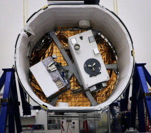
For decades, satellite images have clearly captured how rampant deforestation is destroying the Amazon rainforest. But what about the trees that remain standing? What do their dimensions tell us about our planet’s future? Quite a lot, in fact. Since 2018, a first-of-its-kind mission by NASA has deployed lasers mounted aboard the International Space Station to ...
news.mongabay.com

Metaspectral And Hyspeed Computing To Develop Earth Observation Payload For The International Space Station (ISS)

Metaspectral, a company delivering the next generation of computer vision, and HySpeed Computing, a remote sensing data access and analysis company, have been selected to deploy an Earth Observation (EO) payload on the International Space Station (ISS). The payload is known as Onboard Programmable Technology for Image Classification and Analysis (OPTICA) and will enable real-time ...
spaceref.com
City Heat Extremes Captured By Instrument On The ISS

City Heat Extremes Captured By Instrument On The ISS

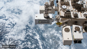
An instrument, carried on the International Space Station, has captured the recent land-surface temperature extremes for some European cities, including Milan, Paris and Prague. For ESA, this particular instrument, which is called ECOSTRESS and owned by NASA’s Jet Propulsion Laboratory (JPL), is important because it is helping in the development of a new Copernicus Sentinel ...
phys.org