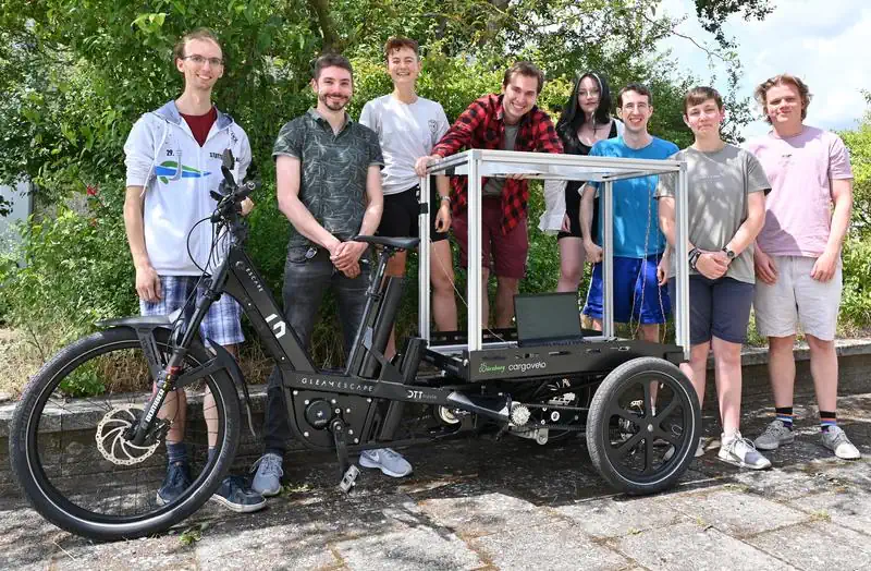
Die Vermessung Der Stadt Per Rad
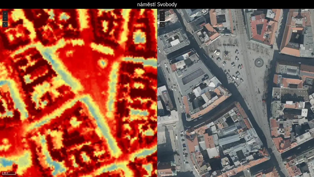
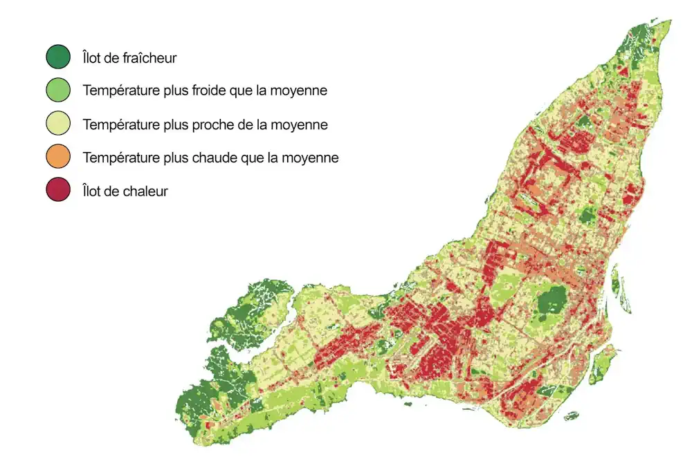
Deutschlands Bevölkerung lebt überwiegend in Städten, für die eine enge Bebauung und eine hohe Bevölkerungsdichte charakteristisch sind. Verkehrsprobleme und urbane Hitzeinseln sind häufig damit einhergehende Begleiterscheinungen. Dabei zeigt sich allerdings eine hohe Variabilität: So ist der urbane Hitzeinseleffekt zwar grundsätzlich in hoch verdichteten Innenstädten stärker ausgeprägt, aber auch dort mag ein kleiner Park mit viel ...
idw-online.de