Geomaticians

Google Earth Engine

Online Map For Ground Mounted Solar Plants In China

Online Map For Ground Mounted Solar Plants In China

Scientists led by the China Agricultural University have created a national-scale map and dataset of ground-mounted PV power stations in China. The data is based on Sentinel-2 imagery from 2020 and has a spatial resolution of 10 meters. According to the researchers, the publicly available data set can assist capacity estimation and prediction tasks, site ...
pv-magazine.com
PCSDS Upgrades Coastal Mapping Through Google Earth Engine

PCSDS Upgrades Coastal Mapping Through Google Earth Engine

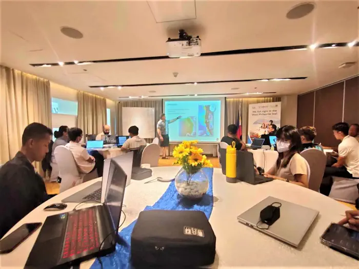
The Palawan Council for Sustainable Development, along with representatives of different government and public organizations dedicated to environmental conservation in Palawan, attended a training-workshop organized by the United States Agency for International Development (USAID) Fish Right program on August 21-23. The workshop consisted of using the features of Google Earth Engine, integrating it with the ...
palawan-news.com

Using Sentinel-2 Data For Seawater Quality Monitoring

In an article published in the journal Remote Sensing, the researchers used Sentinel-2/Multispectral Instrument (MSI) imagery data to a calibrated ocean chlorophyll 2-band (OC-2) model to retrieve chlorophyll-a (chl-a) concentration in the Ha Long bay from 2019 to 2021. Using Sentinel-2 MSI photos on the Google Earth Engine (GEE) platform, this study examines the anthropogenic ...
azooptics.com

Google Cloud Expands Earth Engine To Help Businesses And Governments Boost Sustainability

Announced at the Google Cloud Sustainability Summit today, the tool is said to provide access to more than 70 petabytes of “analysis-ready geospatial data.” Google Earth Engine is not a new product. In fact, it has been available for more than a decade, but until now access has been restricted to academia and the nonprofit ...
siliconangle.com