Geomaticians

glacier

New Geological Map Reveals Secrets Of Greenland's Icy Interior

New Geological Map Reveals Secrets Of Greenland’s Icy Interior

A team of international scientists involving the Durham University Geography department has unveiled a new map of the geological provinces hidden beneath the Greenland Ice Sheet. This comprehensive synthesis, published in Geophysical Research Letters, promises to advance our understanding of this critical component of the global climate system. The new subglacial geology map provides an ...
phys.org
This US-Indian Satellite Will Monitor Earth’s Changing Frozen Regions

This US-Indian Satellite Will Monitor Earth’s Changing Frozen Regions

NISAR, the soon-to-launch radar satellite from NASA and the Indian Space Research Organisation (ISRO), will measure some key Earth vital signs, from the health of wetlands to ground deformation by volcanoes to the dynamics of land and sea ice. This last capability will help researchers decipher how small-scale processes can cause monumental changes in the ...
jpl.nasa.gov
AI Maps Icebergs 10,000 Times Faster Than Humans

AI Maps Icebergs 10,000 Times Faster Than Humans

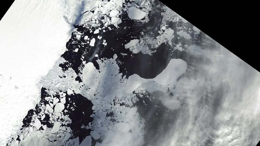
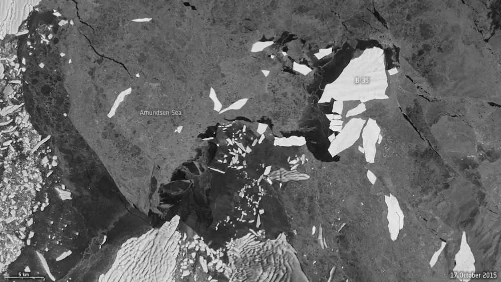
In a groundbreaking development, researchers from the University of Leeds have unveiled a neural network that can swiftly and accurately chart the expanse of large Antarctic icebergs in satellite images, accomplishing the task in a mere 0.01 seconds. This novel approach is in stark contrast to the laborious and time-consuming manual efforts needed previously. Anne ...
esa.int
UAF Scientists To Hunt For Clues About Arctic Ocean Glaciation

UAF Scientists To Hunt For Clues About Arctic Ocean Glaciation

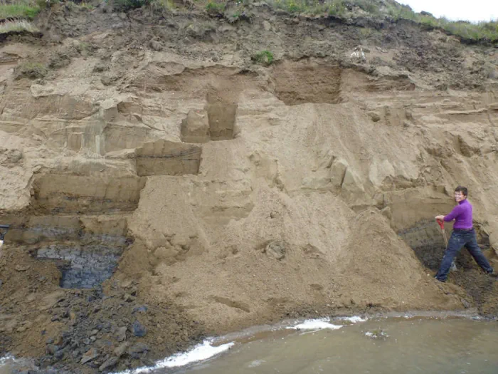
Evidence indicates a thick ice sheet, not annual sea ice and icebergs, covered the Arctic Ocean at some point during the last 140,000 years. Now, University of Alaska Fairbanks scientists will be looking for more geologic proof of the ice sheet’s existence, sources, behavior and extent. UAF Geophysical Institute scientists will focus on the Beaufort ...
kinyradio.com
Aerial System Obtains Glacier Data

Aerial System Obtains Glacier Data

The Chinese Academy of Sciences and Wuhan University are conducting a sky-ground scientific experiment to test the condition of glaciers in the Haibei Tibetan autonomous prefecture in Northwest Qinghai province. The experiment has applied radars in three bands — P-band, L-band and Very High Frequency — and undertaken 11 flights, among which seven carried out ...
chinadaily.com.cn
Mapping Hidden Meltwater Paths In Glaciers

Mapping Hidden Meltwater Paths In Glaciers

Norwegian and Estonian researchers have developed a method to map hidden meltwater paths in glaciers. Having a better understanding of how water moves inside and under the glaciers helps to better predict the motion, melting rates, and possible sudden collapses of glaciers. The small floating drifters, about the shape, size, and weight of an average ...
phys.org
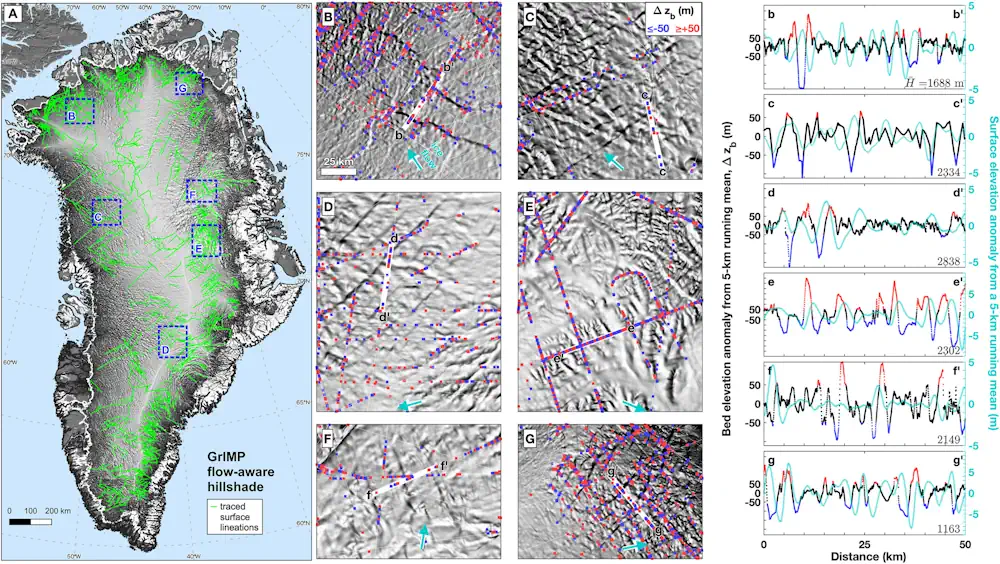
Lakes Can Change How Glaciers Move

Lakes Can Change How Glaciers Move

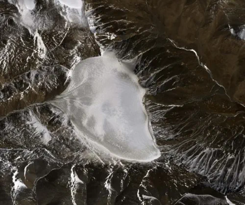
At the feet of mountain glaciers, melting ice forms pools of water that can be trapped behind moraines. And with warming temperatures, these pools are surging in both size and number. In Alaska and northwestern Canada, 183 new lakes appeared between 1984 and 2019, covering 483 square kilometers (190 square miles). New research showed that ...
eos.org
Mapping Glacier’s Wildest Places A New Storytelling Tool Helps Both Park Managers And Visitors Understand The Value Of Park Wilderness.

Mapping Glacier’s Wildest Places: A New Storytelling Tool Helps Both Park Managers And Visitors Understand The Value Of Park Wilderness.

Preserving the ability to hear natural sounds like this—not the engines of cars and buses, the generators of concession stands, or the thwap-thwap-thwap of sightseeing helicopters taking off and landing—is part of the reason for officially designated wilderness areas. At Glacier, a new GIS-based “story map” is giving park managers a sophisticated tool for understanding ...
nationalparkstraveler.org