Geomaticians

GIS

Ottawa Launches Residential School Map To Help In Search For Missing Children

Ottawa Launches Residential School Map To Help In Search For Missing Children

The Canadian government has launched a new interactive online map pinpointing the location of residential schools, and experts say it will help in the search for unmarked or forgotten graves of children forced to go to the institutions. Many residential school buildings have been torn down, paved or built over since the first one opened ...
cbc.ca

Morocco, Turkey Sign Strategic Energy and Mining Agreements

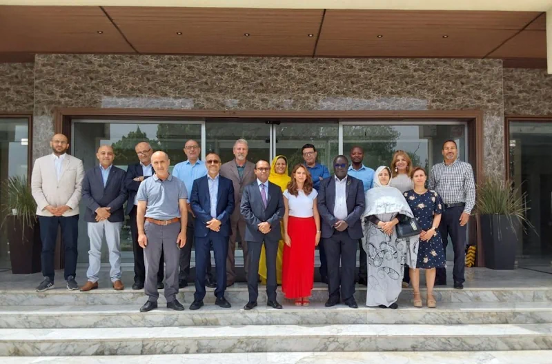
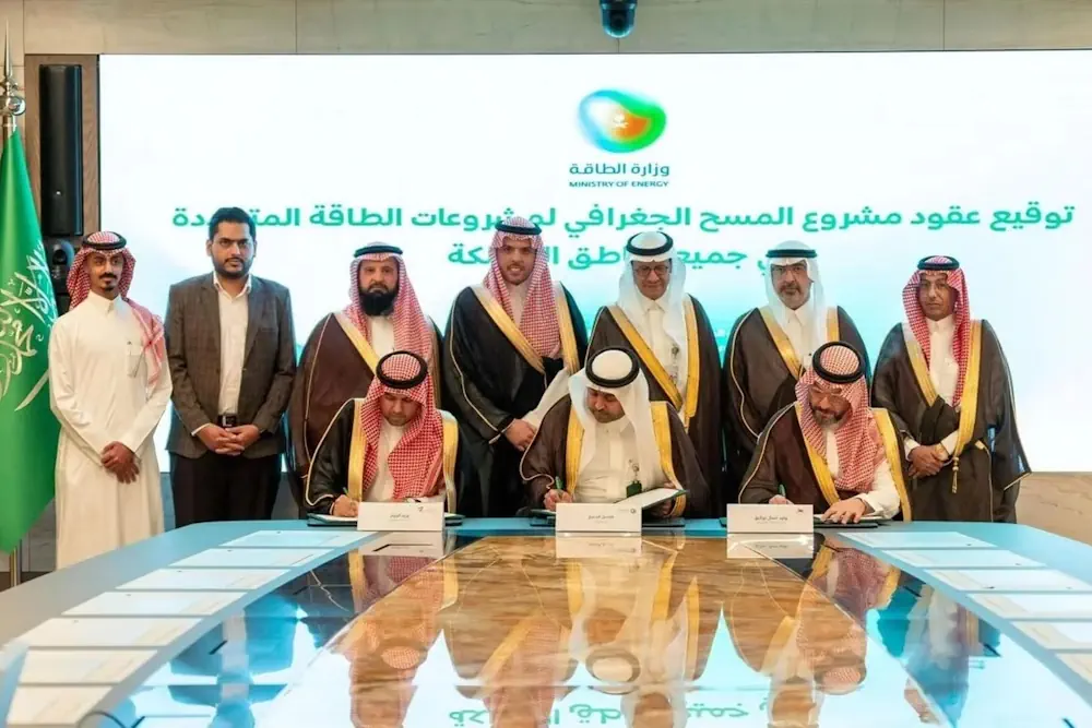
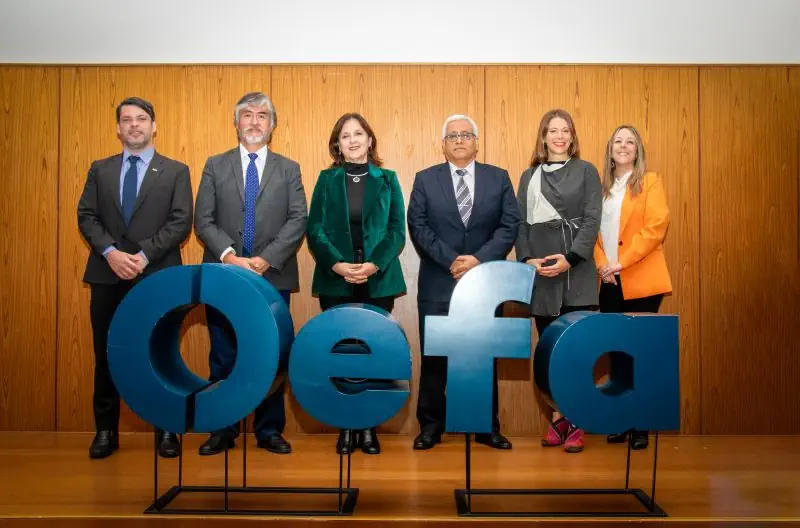
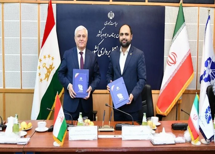
Morocco and Turkey have signed two crucial agreements covering energy, earth sciences, and mining. The agreements were signed on Thursday in Rabat between Morocco’s Ministry of Energy Transition and Sustainable Development Leila Benali and Alparslan Bayraktar, Turkey’s Ministry of Energy and Natural Resources. These agreements include collaboration in renewable energies, green hydrogen, energy efficiency, electricity ...
moroccoworldnews.com
Tunisia To Pilot GIS Mapping For Public Health

Tunisia To Pilot GIS Mapping For Public Health

Tunisia has expressed interest in implementing Geographic Information System (GIS) mapping for laboratory functions among North African countries. This initiative aims to create detailed visual representations of laboratory capacities and capabilities across the country. The candidacy emerged during Africa CDC’s first meeting on GIS mapping for public health with seven North African countries, which included ...
africacdc.org
Mapping Ireland UL Researchers Create New Ordnance Survey Digital Heritage Resource

Mapping Ireland: UL Researchers Create New Ordnance Survey Digital Heritage Resource

Researchers at University of Limerick have created a new digital heritage resource centred on the early years of the Ordnance Survey in Ireland. Marking two-hundred years since the beginnings of the first Ordnance Survey of Ireland, the ‘OS200—Digitally Re-Mapping Ireland’s Ordnance Survey Heritage’ project gathered historic Ordnance Survey (OS) maps and texts, held in disparate ...
ul.ie
Saudi Arabia’s 1,200-Station Renewable Energy Mapping Project Aims To Accelerate Clean Power Goals

Saudi Arabia’s 1,200-Station Renewable Energy Mapping Project Aims To Accelerate Clean Power Goals

Saudi Arabia launched the Geographic Survey Project for Renewable Energy sites, according to the Saudi Press Agency (SPA). The Kingdom awarded contracts to Saudi companies to install 1,200 stations for measuring solar and wind energy across all regions of the country. Saudi Minister of Energy Prince AbdulAziz bin Salman bin AbdulAziz Al Saud stated that ...
economymiddleeast.com
Scientists Analyze Record Storm Surges To Help Predict Future Flooding

Scientists Analyze Record Storm Surges To Help Predict Future Flooding

Researchers at the University of Southampton have conducted the most detailed spatial analysis to date of storm surges along the coast of the UK and Ireland. The oceanographers found that coastlines in the north of the Irish Sea experience the longest and largest surges, while those occurring around the southwest coast of England have the ...
eurekalert.org
Interactive Map Shows Future Climate Of Your City Based On Emissions Scenarios

Interactive Map Shows Future Climate Of Your City Based On Emissions Scenarios

The impacts of climate change are being felt all over the world, but how will it impact how your hometown feels? An interactive web application from the University of Maryland Center for Environmental Science allows users to search 40,581 places and 5,323 metro areas around the globe to match the expected future climate in each ...
phys.org
Karte Zeigt Hitze-Hotspots Für FußgängerInnen In Salzburg

Karte Zeigt Hitze-Hotspots Für Fußgänger:Innen In Salzburg

Die hohen Temperaturen machen gemütliche Spaziergänge durch Salzburg zu einer Herausforderung. Die Sonne heizt Gehwege und Straßen extrem auf, und schattenspendende Bäume für Fußgängerinnen und Fußgänger sind vielerorts Mangelware. Der Verkehrsclub Österreich (VCÖ) ruft daher die Bevölkerung dazu auf, Hotspots in einer Online-Karte zu markieren. Die Hitze belastet nicht nur die Gemüter, sondern auch die ...
salzburg24.at

El Municipio Veinticinqueño Se Suma A La Infraestructura De Datos Espaciales Bonaerense

El Municipio de 25 de Mayo se ha unido a la Infraestructura de Datos Espaciales de la Provincia de Buenos Aires (IDEBA), convirtiéndose en uno de los 30 miembros comprometidos con la gestión eficiente del territorio. A través de esta integración, tendrán acceso a una serie de recursos tecnológicos que facilitarán el seguimiento preciso de ...
lamanana.com.ar

Un Estudio De La Universitat Politècnica De Valencia Alerta Del Negativo Impacto Del Turismo Masivo En El Patrimonio Histórico

Un estudio liderado por el Centro de Investigación PEGASO de la Universitat Politècnica de València (UPV) advierte de la “emergente necesidad” de identificar medidas preventivas que ayuden a garantizar la conservación de los edificios patrimoniales y a mejorar la gestión turística de dichos inmuebles y de los centros históricos de las ciudades. Realizado en el ...
elperiodicodeaqui.com
Fiscalización Ambiental SMA Asiste A Actividad De Cierre De Proyecto De Cooperación Entre Chile, Perú Y Alemania

Fiscalización Ambiental: SMA Asiste A Actividad De Cierre De Proyecto De Cooperación Entre Chile, Perú Y Alemania

La Superintendenta del Medio Ambiente de Chile y presidenta pro tempore de la Red Latinoamericana de Fiscalización y Cumplimiento Ambiental (REDLAFICA), Marie Claude Plumer, asistió el 13 y 14 de junio a la actividad de cierre del segundo proyecto de cooperación triangular entre la Superintendencia del Medio Ambiente (SMA), el Organismo de Evaluación y Fiscalización ...
portal.sma.gob.cl
Empowering Citizens To Map Air Quality In Overlooked Corners Of The City

Empowering Citizens To Map Air Quality In Overlooked Corners Of The City

An EU-funded initiative is transforming the way cities tackle air pollution by engaging citizens in the collection of high-resolution data on frequently visited spots – neighbourhoods, schools and lesser-known city pockets often missed by official monitoring. The EU boasts a rich and advanced history in pollution monitoring, offering one of the most advanced and detailed ...
cordis.europa.eu
Madatlas Digital Cartography For Madagascar

Madatlas: Digital Cartography For Madagascar

An ambitious project launched in 2021, Madatlas aims to build an LMD training program in digital cartography at the University of Fianarantsoa. With the aim of enabling the Malagasy people to play an active role in the creation of a digital atlas of the island, Madatlas has given rise to training, research and partnerships between ...
univ-gustave-eiffel.fr
Türkiye To Create Digital Maps Of Water Bodies

Türkiye To Create Digital Maps Of Water Bodies

In a bid to better manage Türkiye’s water resources, the Agriculture and Forestry Ministry has initiated a project to create digital atlases mapping a total of 270 stagnant water bodies, including dams and artificial ponds currently being constructed. These water resources will be digitized in a geographic information system (GIS) center. “Drinking water basin and ...
hurriyetdailynews.com
New GIS Tool Offers Maps Of Safest Bike Routes, City Capital Improvement Projects, More In Menlo Park

New GIS Tool Offers Maps Of Safest Bike Routes, City Capital Improvement Projects, More In Menlo Park

Have you ever wondered who provides your sewer services, when your street is scheduled to be swept, what average daily traffic volumes are on streets near you or when the sidewalk in front of your house was last replaced? Menlo Park residents can now find the answer to these questions and more on Menlo Park’s ...
almanacnews.com
Iran, Tajikistan Sign MoU To Boost Coop. In Geomatic Sciences

Iran, Tajikistan Sign MoU To Boost Coop. In Geomatic Sciences

The director general of the National Cartographic Center of Iran (NCC) Ali Javidaneh and the chairman of the State Committee for Land Management and Geodesy of Tajikistan inked a memorandum of understanding (MoU) in Tehran aimed at developing cooperation in the field of the geomatic sciences. Javidaneh said the MoU is a turning point in ...
en.mehrnews.com
Lanzan Una Plataforma Para Acceder En Línea A Información Forestal Detallada

Lanzan Una Plataforma Para Acceder En Línea A Información Forestal Detallada

El Geoportal se destaca por su capacidad para integrar y superponer múltiples capas de información generadas por diferentes organismos nacionales, permitiendo la visualización de datos de alta precisión sobre la cobertura forestal, distribución de especies y otros aspectos centrales del sector foresto industrial argentino. El Gobierno Nacional lanzó la Información Cartográfica Forestal a través de ...
argentina.gob.ar

India To Introduce GNSS-Based Toll Collection System

The National Highways Authority of India (NHAI) invited expressions of interest from global innovators to develop a GNSS-based electronic toll collection system, as announced by the Ministry of Road Transport and Highways. This initiative aims to integrate the GNSS system within the existing FASTag framework through a hybrid model combining RFID and GNSS-based toll collection. ...
kashlem.com
How A ‘Citizen Map’ Is Helping Brazil Prepare For Next Big Flood

How A ‘Citizen Map’ Is Helping Brazil Prepare For Next Big Flood

In the wake of last month’s disastrous flooding in southern Brazil, researchers are asking residents to use their smartphone cameras to document the damage and high-water marks. The data collected will help scientists map flood risk and inform decisions on where to rebuild. When Lucas George Wendt arrived in Lajeado in late May, the water ...
e360.yale.edu
A New Google Maps Layer Shows Public Restrooms In NYC

A New Google Maps Layer Shows Public Restrooms In NYC

There’s no elegant way to say this: going to the bathroom in New York is a nightmare. Public restrooms in the city are hard to find and are often either out of order or require you to buy something at a store or café to be able to use. The problem is so bad that ...
theverge.com
Chinese Internet Giant Baidu To Provide Map Service For Tesla EVs, As US Carmaker Eyes Mainland Launch Of Self-Driving System

Chinese Internet Giant Baidu To Provide Map Service For Tesla EVs, As US Carmaker Eyes Mainland Launch Of Self-Driving System

Chinese internet search giant Baidu will provide Tesla with mapping software for its electric vehicles (EVs), paving the way for the US carmaker to launch its Full Self-Driving (FSD) system on the mainland. Version 20 of Baidu Maps, a desktop and mobile web-mapping application released in April, will soon be available on Tesla’s EVs, the ...
scmp.com
Internet Of Waste SLU Researcher Uses AI To Tackle STL’s Waste And Recycling Problem

Internet Of Waste: SLU Researcher Uses AI To Tackle STL’s Waste And Recycling Problem

Neighborhoods in the City of St. Louis will soon be able to track their recycling and solid waste thanks to a geospatial sensor developed by a Saint Louis University researcher. Orhun Aydin, Ph.D., assistant professor in Earth and Atmospheric Science at SLU’s School for Science and Engineering, received a $149,791 planning grant from the National ...
firstalert4.com
Stormwater Hits D.C.'S Poorest Neighborhoods Hardest, Study Finds

Stormwater Hits D.C.’S Poorest Neighborhoods Hardest, Study Finds

A new University of Maryland study suggests that Washington, D.C.’s most socioeconomically vulnerable neighborhoods are less equipped to handle runoff from heavy rainfalls made more frequent by climate change. Published this month in Cities, the study reveals that the most densely populated communities in the District of Columbia, particularly in historically Black Southeast D.C., lack ...
phys.org
BAS Releases Interactive Antarctic Map Viewer

BAS Releases Interactive Antarctic Map Viewer

The British Antarctic Survey (BAS) has released a new map viewer that brings together all of the Antarctic Digital Database datasets, plus other useful information, and displays them together in an open-access interactive website. The BAS’ Mapping and Geographic Information Centre (MAGIC) is responsible for keeping the maps and data up to date, with the ...
spatialsource.com.au
University Of Nevada, Reno Team Develops New Vegetation Mapping Tools

University Of Nevada, Reno Team Develops New Vegetation Mapping Tools

Powerful new digital mapping tools developed by University of Nevada, Reno researchers hold promise to improve management of rangeland, particularly public lands in the far-flung Western United States. The significant improvements in mapping of vegetation enabled by the University’s research provide managers of rangeland, ranchers as well as federal managers of public lands, with better ...
unr.edu

3D Modelling Assists In Post-Flood Rebuild

A comprehensive geospatial mapping project has commenced at the Australian Wildlife Conservancy’s (AWC) Mornington Wildlife Sanctuary (Bunuba and Kija country) in the central Kimberley, to assist in the site’s post-flooding restoration. The newly launched J2 Geospatial Intelligence Service (J2 GIS), a social enterprise of the veteran-led non-for-profit Disaster Relief Australia (DRA), has signed on to ...
spatialsource.com.au
Scientists Map Biodiversity Changes In The World's Forests

Scientists Map Biodiversity Changes In The World’s Forests

A group of EPFL and ETH Zurich scientists have mapped the biodiversity in forests worldwide. Their data, when combined with climate projections, reveal trends that could support ecosystem conservation and restoration efforts. According to the latest figures from the Food and Agriculture Organization of the United Nations, forests cover just over 4 billion hectares of ...
phys.org
Tecnología Geoespacial Aplicada A La Eficiencia Ganadera

Tecnología Geoespacial Aplicada A La Eficiencia Ganadera

Un equipo de especialistas del grupo de Recursos Naturales de la Estación Experimental Agropecuaria Corrientes del INTA junto con la Subsecretaría de Sistemas y Tecnologías de la Información de la Provincia de Corrientes, desarrolló una plataforma web que permite conocer la superficie ganadera útil con el fin de calcular y establecer de manera más eficiente ...
intainforma.inta.gob.ar

Projeto Utiliza Inteligência Artificial Para Evitar Acidentes Com Animais Em Estradas

Enquanto viajava, quantas vezes você já se deparou com placas de avisos sobre o perigo de animais na estrada? A partir de uma pesquisa que utiliza da Inteligência Artificial (I.A.), esses alertas podem chegar na palma da sua mão, via smartphone, por exemplo. Isso porque, pesquisadores desenvolveram um sistema, baseado na arquitetura Yolo (You Only ...
uesb.br
Mapas Da UFRGS Mostram Dimensão Da Enchente No Rio Grande Do Sul

Mapas Da UFRGS Mostram Dimensão Da Enchente No Rio Grande Do Sul

Enquanto o Rio Grande do Sul ainda vive a tragédia da maior enchente da história, uma das contribuições necessárias para entender toda a catástrofe é o uso de informações a partir de mapas e análises técnicas do que está acontecendo. Como forma de contribuição acadêmica, pesquisadores da UFRGS e colaboradores lançaram o “Repositório de informações ...
gaz.com.br