Geomaticians

ESRI

Torna L’appuntamento Con La Conferenza Esri Italia 2023

Il 10 e 11 maggio 2023, in un rinnovatissimo Auditoriumdel Massimo di Roma, torna l’appuntamento con la Conferenza Esri Italia, l’evento più importante per imprese, pubbliche amministrazioni, ricercatori, professionisti e appassionati delle tecnologie GIS, che raccoglie da oltre 20 anni l’interesse di migliaia di persone. Per l’edizione 2023 il tema della Conferenza è “GeoDigital Twin ...
rivistageomedia.it
UK Local Authority Projects Use GIS To Modernize Planning

UK Local Authority Projects Use GIS To Modernize Planning

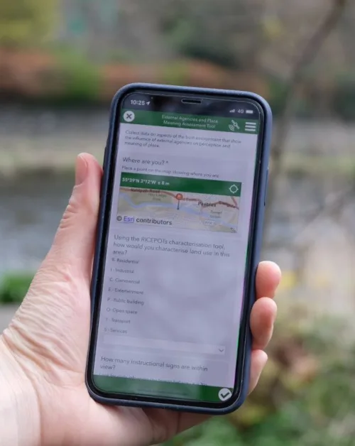
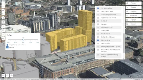
The United Kingdom is undertaking reforms in the planning system. Homes and streets from late Victorian and early 20th-century Britain are to be rediscovered and made fit for the 21st century. The Ministry of Housing, Communities and Local Government, UK, in 2020 published a white paper that outlined geospatial technology and data have an important ...
geospatialworld.net

Esri Releases New App To Easily View And Analyze Global Land-Cover Changes

Esri, the global leader in mapping and location intelligence, has now released a new online application, Sentinel-2 Land Cover Explorer. The app is structured around a web-based version of its own high-resolution global land-cover map, derived from European Space Agency (ESA) Sentinel-2 satellite imagery. The app is easy to access and leverages the same geographic ...
geospatialworld.net

Esri Signs Space Act Agreement With NASA

The agreement focuses on extending access to the broader global community of NASA’s geospatial content for continued research and exploration—including new datasets from nearly 100 spaceborne sensors, measuring atmospheric health, land-based phenomena, and characteristics of the oceans. Partner efforts under this agreement will add to the existing NASA data in ArcGIS Living Atlas of the ...
geospatialworld.net

Esri & Texmin Sign MOU, Research And Innovation In Mineral Exploration Key Focus

Esri India and the TEXMiN Foundation have signed a Memorandum of Understanding (MoU) to establish a Geospatial Excellence Center at the Indian Institute of Technology (Indian School of Mines), Dhanbad. Esri India is the nation’s top provider of Geographic Information System (GIS) Software & Solutions. The research and innovation in spatial analytics & remote sensing ...
egov.eletsonline.com
Esri India Launches Policy Map

Esri India Launches Policy Maps

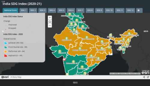
Esri India, country’s leading Geographic Information System (GIS) Software & Solutions provider, today unveiled Policy Maps to facilitate data-driven policymaking in India. The announcement was made during Esri India’s annual flagship event, the User Conference. The objective of developing Esri India Policy Maps is to foster data-driven decision-making in policymaking. The Policy Maps have been ...
geospatialworld.net
Esri India UC 2023 Marches Ahead To Transform Communities Through GIS

Esri India UC 2023 Marches Ahead To Transform Communities Through GIS

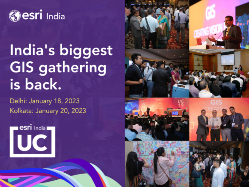
Esri India, India’s one of the leading Geographic Information System (GIS) solutions provider, is back with its flagship conference, Esri India User conference (UC) in-person this year. The theme of this year’s conference is ‘GIS — Transforming Communities’. The conference is scheduled to be held on January 18, 2023 in Delhi and on January 20, ...
geospatialworld.net
Esri India Launches Carbon Footprint Awareness App

Esri India Launches Carbon Footprint Awareness App

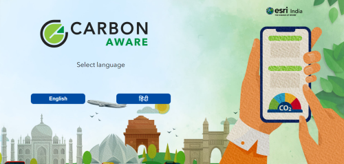
Leading Geographic Information System (GIS) solutions provider Esri India announced on Tuesday the launch of an app in Hindi and English to enhance awareness about carbon footprint at an individual level. A simple to use app ‘Carbon Jagruk’ or ‘CarbonAware’ enables citizens to estimate and reduce their carbon footprint requires no login or download and ...
deccanchronicle.com
Esri's GIS Helps Vodafone Create National Digital Twin

Esri’s GIS Helps Vodafone Create National Digital Twin

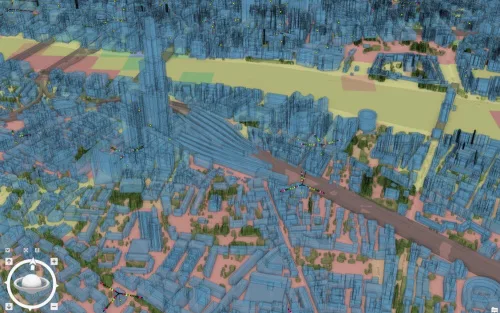
Vodafone has created a 3D digital twin of its UK mobile mast network to allow its engineers to visualise and strategise network improvements or expansion. It will allow them to make instant decisions to improve services to customers without leaving their desks. The digital twin involved mapping more than 40 million environmental features using advanced ...
directionsmag.com

Esri Kooperiert Mit Geneva Demining Centre Auf Dem Gebiet Der Kartierungstechnologie Für Sprengstoffe

Humanitäre Organisationen, die mit der Beseitigung von Landminen und anderen explosiven Kampfmitteln beauftragt sind, verlassen sich zunehmend auf digitale Technologie. Modernes Informationsmanagement dient heute als Grundlage für den Minenräumbetrieb. Um diese Bemühungen zu unterstützen, haben Esri und das Geneva International Centre for Humanitarian Demining (GICHD) ihre Partnerschaft durch ein Memorandum of Understanding (MOU) erneuert und ...
boerse.de
Esri UK Provides Mapping Expertise For DfE’s Major New Climate Project

Esri UK Provides Mapping Expertise For DfE’s Major New Climate Project

The Department for Education (DfE) has released further details of its National Education Nature Park, created to teach children of all ages about climate change and improve biodiversity across the country. Esri UK is providing a digital mapping platform and expertise in biodiversity mapping to help underpin this exciting initiative, first announced at COP26 by ...
geospatialworld.net

Cyclomedia Dará A Conocer Su Proyecto De Gemelo Digital De Milán En La Conferencia Esri España 2022

La Conferencia Esri España 2022 abordará las últimas novedades GIS (Geographical Information System) en el ámbito de las smart cities a través de un programa compuesto por mesas redondas, sesiones técnicas, talleres, ponencias sectoriales y una Sesión Plenaria. Cyclomedia, empresa de los Países Bajos especialista en visualizaciones sistemáticas a gran escala de entornos físicos, dará ...
esmartcity.es

OHLA Presenta Una Representación Virtual De Una De Sus Obras Ferroviarias En Suecia

Grupo OHLA presentará en la Conferencia Esri, que se celebra el próximo 19 de octubre en Ifema Madrid, el gemelo digital de un contrato que ha llevado a cabo en Suecia para la construcción de una de las principales líneas ferroviarias del país. “El proyecto es un ejemplo innovador a nivel europeo por el uso ...
negocios.com

Esri Partners With Digital Earth Africa To Support Sustainable Growth

Climate change is compounding risks of food insecurity, displacement, and natural disasters across broad regions of the African continent, with vulnerable populations facing especially grave outcomes. However, several countries in Africa are already innovating and driving the next big tech sector boom, with companies creating solutions to close social and economic gaps. To support local ...
geospatialworld.net

First-of-its-kind Digital Platform Reveals Migration Data For Birds Across The Western Hemisphere Just In Time For Fall Migration

As millions of birds are flocking to their wintering grounds, the Smithsonian Migratory Bird Center and nine partner organizations announced today the Bird Migration Explorer, a state-of-the-art digital platform that reveals migration data consolidated for 458 bird species found in the United States and Canada. The free, interactive platform, available in English and Spanish, allows ...
nationalzoo.si.edu

SLU, NGA to host annual Geo-Resolution Conference focusing on climate change

The National Geospatial-Intelligence Agency (NGA) and Saint Louis University (SLU) will co-host the annual Geo-Resolution conference Wednesday, Sept. 28, at SLU. Geo- Resolution is an annual conference that encourages collaboration between government, academic and industry partners to foster geospatial technology innovation and applications, connect geospatial experts and students, and grow the geospatial ecosystem in the ...
newswise.com
Mapping Company Develops Web App To Provide Context, Resources During Local Wildfires

Mapping Company Develops Web App To Provide Context, Resources During Local Wildfires

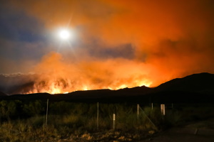
A new web service by a California-based mapping company shows detailed information on wildfires in real time. It shows information like nearby population size, climate and drought conditions to try to give people context on wildfires around them. Chris Ferner is a wildland fire specialist for the company. She said Esri developed Wildfire Aware to ...
kcbx.org
Esri Collaborates With Rail Baltica To Build Sustainable Rail Infrastructure

Esri Collaborates With Rail Baltica To Build Sustainable Rail Infrastructure

The 870 kilometers of Rail Baltica(RB) are divided into several sections across each of the three Baltic countries: Estonia, Latvia, and Lithuania. An ongoing electric rail infrastructure project in the region, Rail Baltica’s purpose is to provide sustainable passenger and freight service between participating countries and improve rail connections between central and northern Europe. To ...
geospatialworld.net

New Esri Initiative Provides Free Geospatial Software For Nonprofits

Nonprofits are increasingly taking a geographic approach to implementing their plans and ensuring the success of their goals. One nonprofit organization recently used geospatial technology to target likely donors as well as identify areas in need while addressing the recent baby formula shortage. To support and advance the missions of similar small nonprofits that may ...
geospatialworld.net

Esri Announces ArcGIS Maps SDKs For Unity And Unreal Engine

Esri, a provider of geographic information system (GIS) software, location intelligence, and mapping solutions, has recently announced the launch of its ArcGIS Maps SDK for Unity and ArcGIS Maps SDK for Unreal Engine. Both SDKs bring direct ArcGIS integration to developers working with these game engines.
auganix.org
Maxar’s High-resolution Vivid Basemaps Enhances Esri Arcgis Living Atlas Of The World

Maxar’s High-resolution Vivid Basemaps Enhances Esri Arcgis Living Atlas Of The World

Maxar Technologies, provider of comprehensive space solutions and secure, precise, geospatial intelligence, today announced that Esri, the global leader in geographic systems (GIS) and location intelligence, will enhance the World Imagery layer with higher resolution Maxar Vivid basemaps in the Living Atlas. With the new, multiyear agreement, Esri will use Maxar’s Vivid basemaps to upgrade ...
geospatialworld.net
Esri Launches Indoor Positioning System For Facility Wayfinding

Smartphone navigation apps have given people a greater sense of personal freedom, allowing them to efficiently venture from one unfamiliar place to another, still knowing where they are. That sense of knowing can quickly fade once someone has arrived at an airport, corporate campus, or medical center complex. While a global positioning system (GPS) can’t ...
geospatialworld.net

Geospatial, Mapping Central US Govt Climate Action: Top White House Aide

The US government is working on building a climate resilience portal that seeks to bring together all valuable information on climate change and its impacts under one umbrella. David J. Hayes, Special Assistant to the US President for Climate Policy, revealed this at Esri User Conference 2022 underway at San Diego.
geospatialworld.net