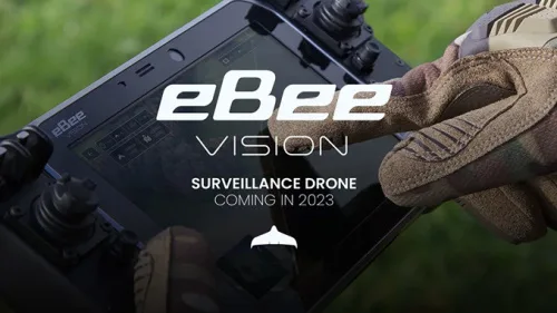
AgEagle Introduces The New eBee VISION Intelligence, Surveillance And Reconnaissance Drone
AgEagle Aerial Systems Inc. , an industry-leading provider of full stack flight hardware, sensors and software for commercial and government/defense use, today announced its introduction of the new eBee™ VISION, a small, fixed-wing unmanned aerial system (“UAS”) designed to provide real-time, enhanced situational awareness for critical Intelligence, Surveillance and Reconnaissance (“ISR”) missions. Scheduled for global ...
uasweekly.com