Geomaticians

CNES

TRISHNA Mission

TRISHNA Mission: Advancing High-Resolution Thermal Imaging For Climate And Resource Management

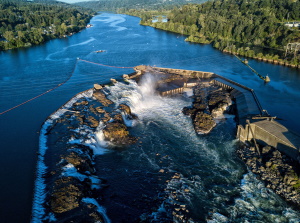
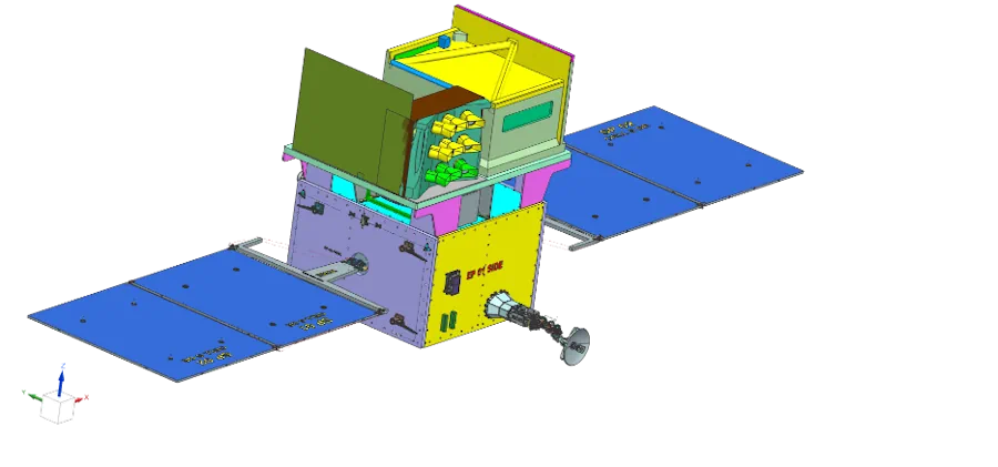
The TRISHNA (Thermal Infra-Red Imaging Satellite for High-resolution Natural Resource Assessment) mission, a collaborative endeavor between ISRO and CNES, is engineered to deliver high spatial and high temporal resolution monitoring of Earth’s surface temperature, emissivity, biophysical and radiation variables for surface energy budgeting at regional to global scale. This mission addresses critical water and food ...
isro.gov.in
US-European Satellite Will Make World’s First Global Freshwater Survey

US-European Satellite Will Make World’s First Global Freshwater Survey

Water is life, but for all its importance, humanity has a surprisingly limited view of Earth’s freshwater bodies. Researchers have reliable water level measurements for only a few thousand lakes around the world, and little to no data on some of the planet’s important river systems. The upcoming Surface Water and Ocean Topography (SWOT) satellite ...
jpl.nasa.gov