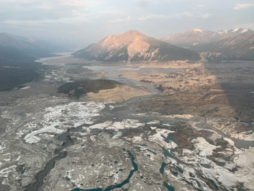
Mapping Hidden Meltwater Paths In Glaciers
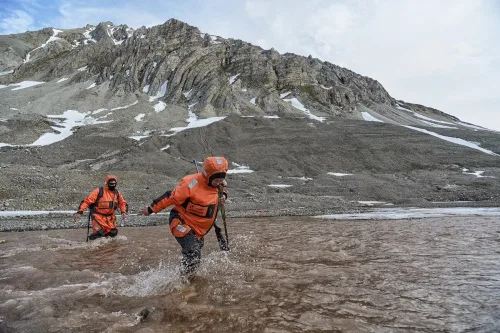
Norwegian and Estonian researchers have developed a method to map hidden meltwater paths in glaciers. Having a better understanding of how water moves inside and under the glaciers helps to better predict the motion, melting rates, and possible sudden collapses of glaciers. The small floating drifters, about the shape, size, and weight of an average ...
phys.org