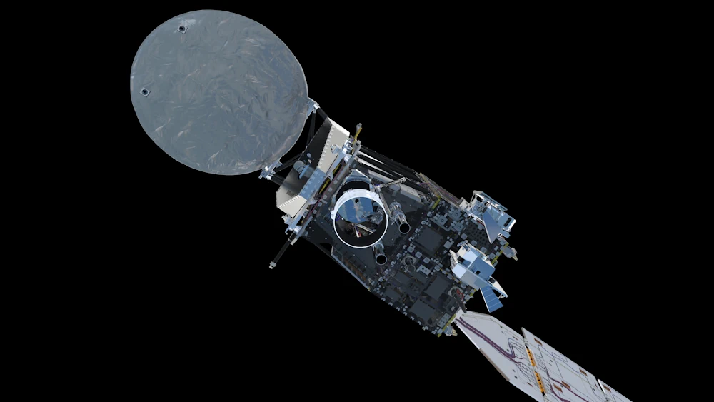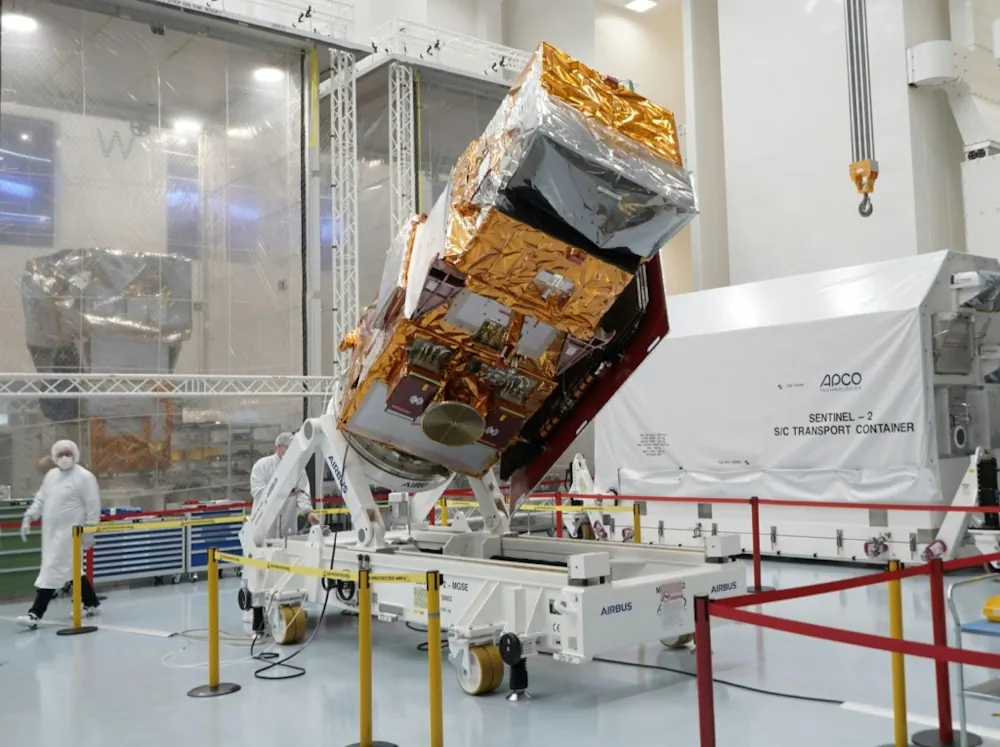
Sentinel-2C Earth Observation Satellite Set For Sept 3 Launch
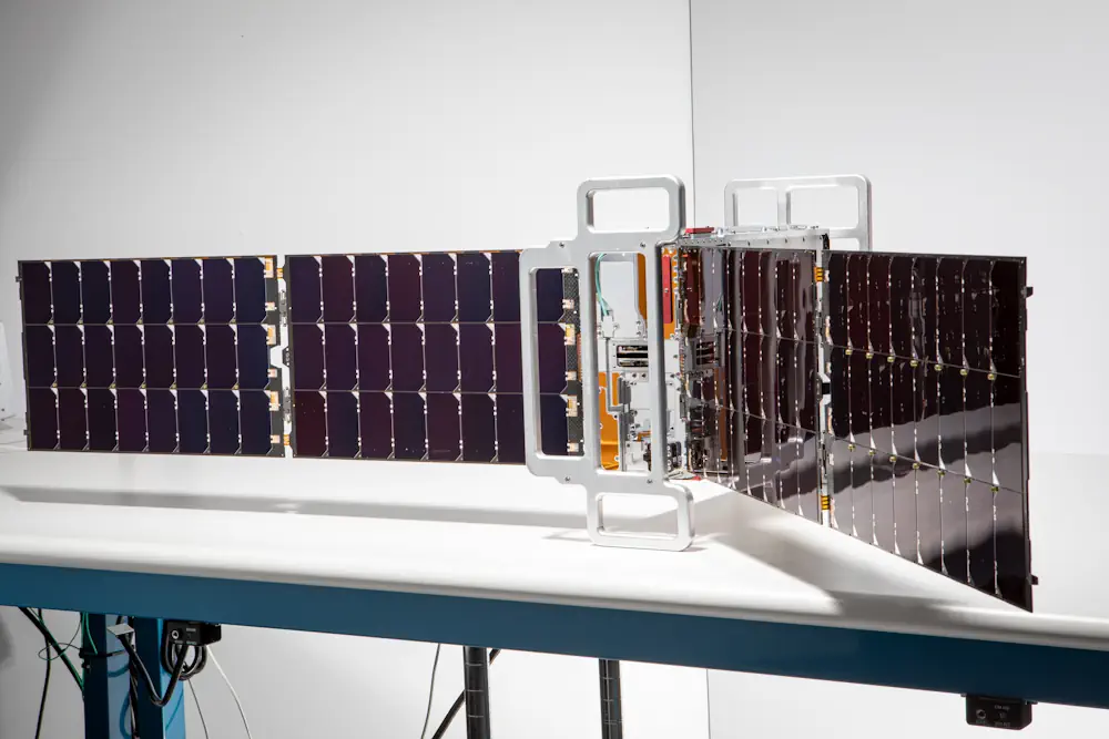
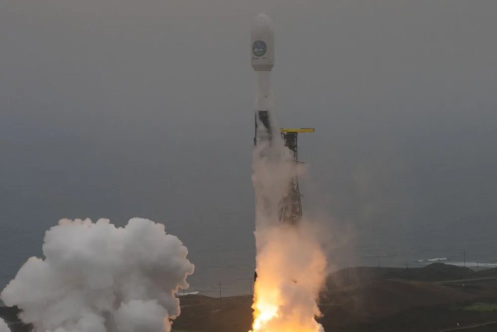
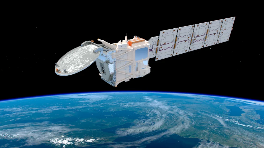
Arianespace has confirmed the launch of the Sentinel-2C satellite, part of the Copernicus Earth observation program, scheduled for September 3. The Sentinel-2C satellite is designed to monitor land and vegetation, providing critical data for agricultural practices, forestry management, and disaster response. The Sentinel-2C satellite will be launched aboard a Vega rocket from the Guiana Space ...
spacedaily.com