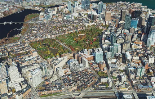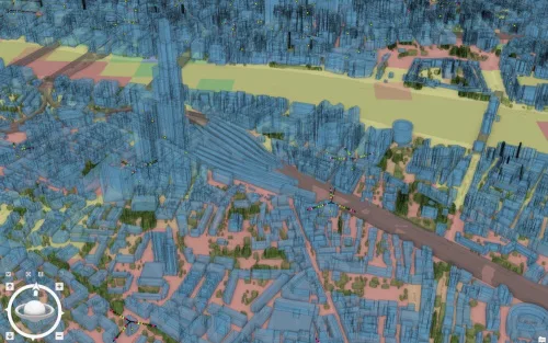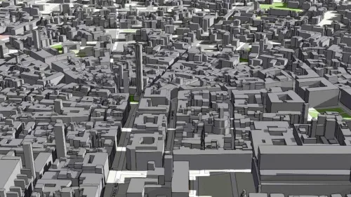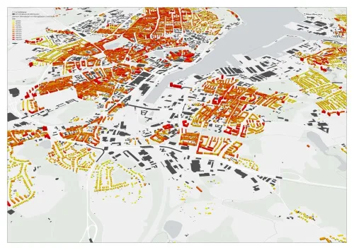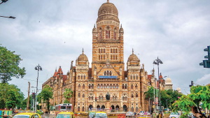
BMC Developing 3D Digital Map Of Mumbai City
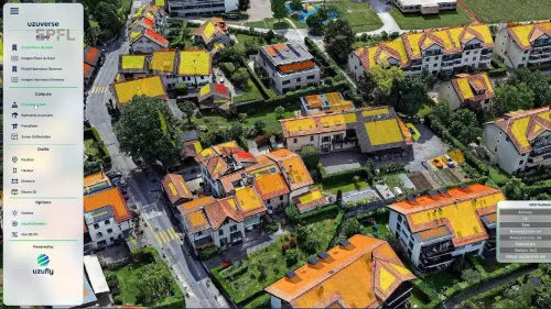
After attempting the project as a pilot in South Mumbai’s Worli neighbourhood in September of last year, the Brihanmumbai Municipal Corporation (BMC) has begun the process of developing a three-dimensional digital model of Mumbai city. In addition to its open spaces, municipal facilities, and slums, Mumbai’s buildings, roads, bridges, underpasses, water bodies, means of transportation, ...
scoopearth.com