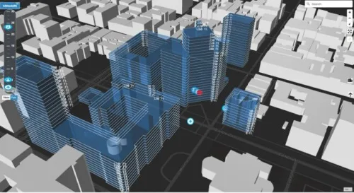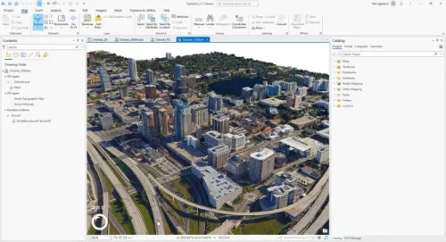
Maxar Unveils 3D Digital Twin For VR And Simulation
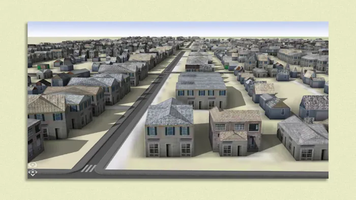
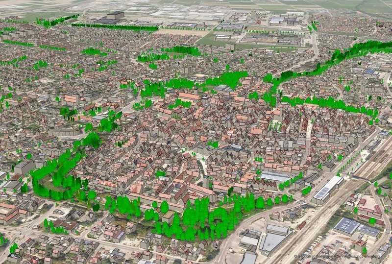
Maxar Technologies and blackshark.ai have collaborated to develop SYNTH3D, a synthetic 3D digital twin of the Earth’s surface that is highly compatible and visually pleasing for use in gaming, simulation, entertainment, virtual reality (VR), smart city, and metaverse applications. This high-performance 3D model, created using blackshark.ai’s patented generative artificial intelligence (AI) technology and Maxar’s Vivid ...
gim-international.com