Remote sensing is a powerful tool to measure fire’s effects on plant life. How severe was the damage to vegetation? How quickly can a landscape recover? A new project is looking at those questions from a before, during, and after fire perspective, and the Wildland Fire Team at EROS investigates how using different remote sensing technologies together might help.
Remote sensing provides a spatially consistent and comprehensive way by which to monitor vegetation condition at the landscape scale. Therefore, there is considerable interest in leveraging different remote sensing assets to characterize vegetation status pre-fire and vegetation recovery post-fire. Different sensor types capture vegetation characteristics in different ways. For example, passive-optical imagers such as Landsat provide spectral data that relate to characteristics such as vegetation greenness and canopy cover. In contrast, data acquired from lidar instruments can provide estimates of canopy structure such as height and biomass.
The Post-Fire Hazards Impacts to Resources and Ecosystems (PHIRE): Support for Response, Recovery, and Mitigation project is developing an integrated approach to create linkages between the pre-fire, during-fire, and post-fire environments in ways that have demonstrated importance to stakeholders. As part of this project the USGS Earth Resources Observation and Science (EROS) Center’s Fire Science Team is seeking to gain a better understanding of the advantages of various remote sensing technologies and how they can be used collectively to gain a more complete picture of vegetation condition with a focus on using moderate spatial resolution (~20-50 m) data, suitable for landscape-to-regional scale assessments.
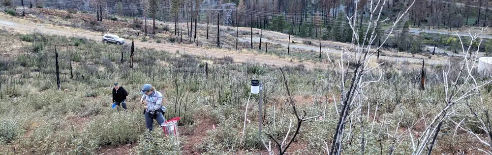
To capture vegetation structure consistently for a given study area, the team is exploring the use of the Global Ecosystem Dynamics Investigation (GEDI) spaceborne lidar instrument for capturing wildfire-relevant structure metrics. The wall-to-wall coverage of GEDI data within the study areas offers an opportunity to examine changes in pre- and post-fire vegetation structural data (including biomass) as well as fuels characteristics (e.g., canopy base height and canopy bulk density). An automated methodology has been developed to process GEDI data collected in and around the fire boundary to enable more efficient and consistent derivation of the metrics of interest at the lidar footprint level and extrapolate these to generate spatially comprehensive maps. Geospatial data sources (e.g., weather, topography, and image reflectance) are extracted for the discrete footprint locations and are used as independent datasets in a machine learning (ML) model (e.g., random forest, XGBoost). Models can then be applied through time using the static (e.g., topographic) and variable (e.g., satellite reflectance) data to determine pre-fire vegetation structure and fuel loads and estimate the amount of post-fire biomass lost and subsequent vegetation recovery.
Long-term landscape recovery is also being assessed spectrally using a time-series of composited Landsat imagery (1984-2022). While the Normalized Burn Ratio (NBR) assessment is a commonly used burn severity assessment, as used in the Monitoring Trends in Burn Severity program, this effort seeks to apply a similar methodology on a longer timeframe. In terms of NBR, it is well known that higher burn severity takes significantly longer to recover to pre-fire conditions than areas of lower burn severity. This effort seeks to establish a method to forecast recovery time on a landscape scale, using a differenced-NBR assessment as the starting point. Accounting for meteorological/climatological as well as topographic influences on this recovery will allow for a range of recovery scenarios to be produced. Currently, the working recovery model is being used to generate prototype forecasts of recovery time for historic fires near the Dixie Fire to build a long-term post-fire recovery record (Fig. 2). A more robust working definition of spectral recovery is being developed to include climatological variables such as seasonal precipitation and temperature anomalies, as well as topographical (slope, aspect, and elevation) inputs. More robust modeling methods such as ML are being considered to determine the impacts of these additional inputs and to determine whether they should be incorporated into additional forecasts.
Next steps will include integrating what we learn from using the different sensor types to characterize vegetation condition and post-fire recovery and developing a method that can leverage their individual strengths into products or tools that are useful for operational post-fire decision support. There is also a need to further explore how these moderate resolution products relate to and link with data collected at significantly finer resolutions, for example, understanding the fidelity loss when comparing vegetation structure assessments derived from terrestrial lidar, airborne lidar, or GEDI.