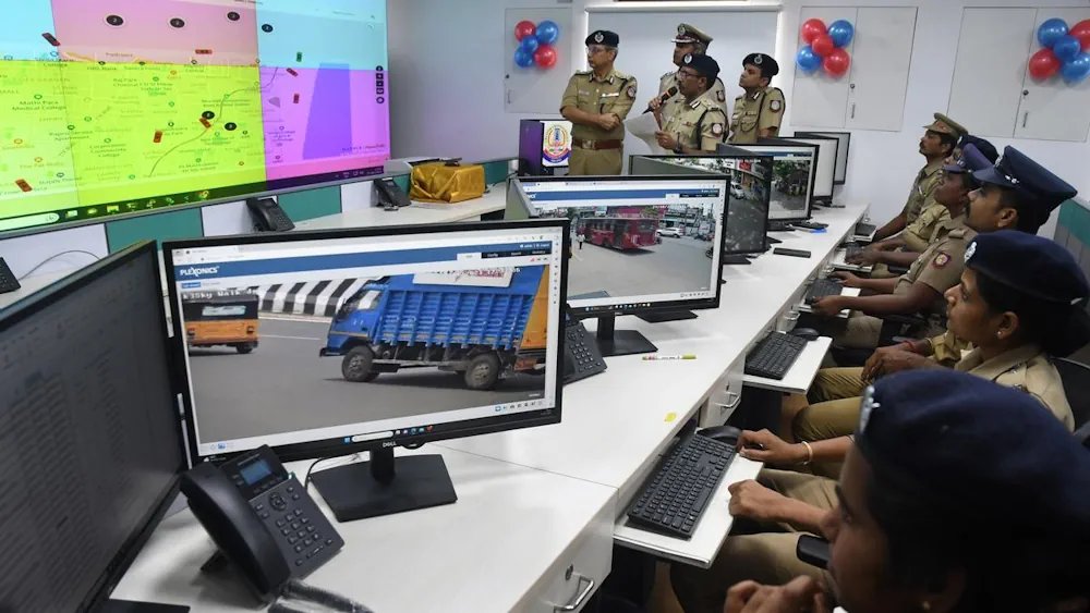
The Greater Chennai Police (GCP) on Tuesday launched mapping of crime zones using Geographic Information System (GIS). Commissioner of Police Shankar Jiwal inaugurated the new initiative at the integrated command and control centre. A special GIS centre has been established and equipped with the latest software tools to collate data from Crime and Criminal Tracking Network and Systems (CCTNS), daily service register, daily reports and other critical inputs from the Greater Chennai Corporation and the Social Welfare Department. As part of the data compilation, around 67,000 cameras installed in critical locations across the city have been plotted on GIS maps to support officers during investigation. All the critical establishments such as support centres for women and children, educational institutions, pink toilets, street lights, markets and other sensitive areas form part of 36 GIS layers that provide crucial information for analysis and quick response to ensure the safety of citizens, particularly women and children.