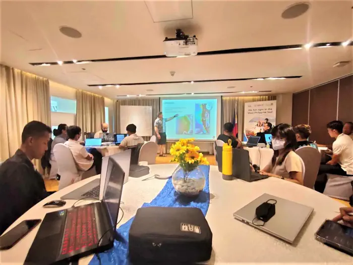
The Palawan Council for Sustainable Development, along with representatives of different government and public organizations dedicated to environmental conservation in Palawan, attended a training-workshop organized by the United States Agency for International Development (USAID) Fish Right program on August 21-23.
The workshop consisted of using the features of Google Earth Engine, integrating it with the PCSD’s existing software in order to use satellite imagery in their conservation efforts.
The readings from the Google Earth Engine are particularly useful in mapping the Environmentally Critical Areas Network (ECAN) zones in province, along with delineating marine and terrestrial areas, and assessing the changes in marine habitat and land cover across a period of time.
Jovic Fabello, spokesperson of the implementing body PCSD Staff, noted that the time-series change assessment was helpful, especially in mapping out hard-to-reach areas in real-time, such as coastal shores.
The readings from the Google Earth Engine are particularly useful in mapping the Environmentally Critical Areas Network (ECAN) zones in province, along with delineating marine and terrestrial areas, and assessing the changes in marine habitat and land cover across a period of time.