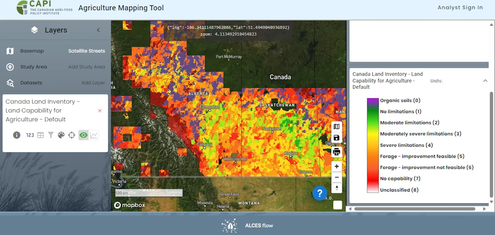
A new online tool allows users to examine agricultural land use across the country. Developed by ALCES for the Canadian Agri-Food Policy Institute, the Agriculture Web Mapping Application Tool offers maps and datasets about land use, management practices and agri-environmental indicators. Census, crop production and land use data can be viewed individually or overlaid.
Tyler McCann, CAPI’s managing director, said people want to better understand what’s happening and how to connect the different interests of governments, producers and broader society. “The more that we’ve done work on land use, I think the more that you understand how connected land use policy is to most policy decisions, most policy debates that happen in agriculture and food,” he said in an interview.