NOAA’s National Integrated Heat Health Information System (NIHHIS), in partnership with CAPA Strategies LLCoffsite link, is now accepting applications from organizations interested in participating in the 2024 Urban Heat Island (UHI) mapping campaign program.
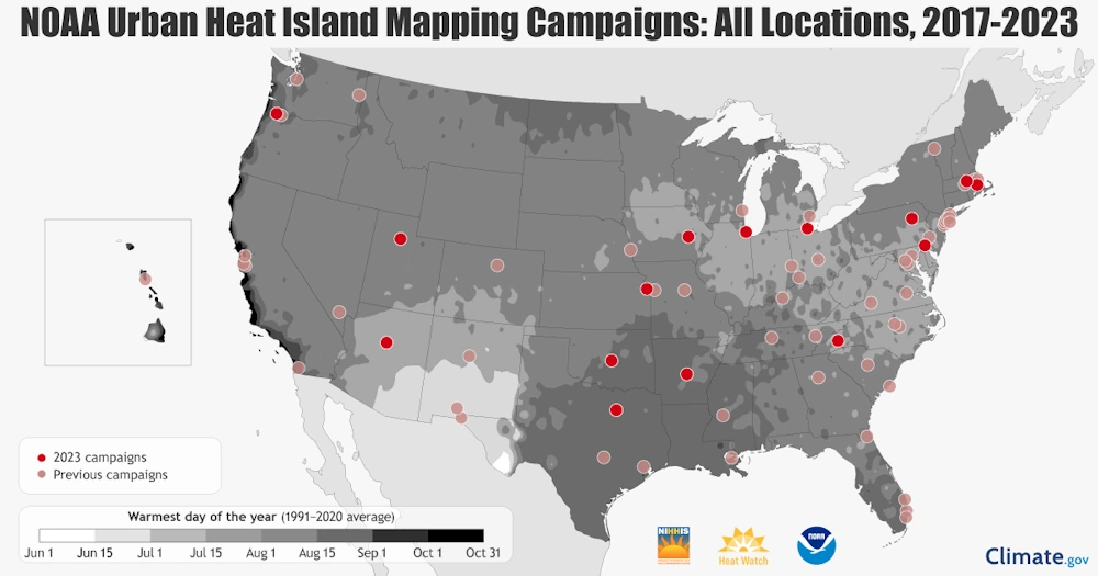
In the eighth year of the program, NIHHIS and CAPA Strategies will support community science campaigns in cities and counties across the United States to map the hottest neighborhoods and learn where action is needed to protect their communities. This year, NIHHIS will be partnering with additional agencies on this effort, including the Department of Health and Human Services (HHS) and the Department of Housing and Urban Development (HUD). “Climate change is increasing the intensity and frequency of heat waves in our country … NOAA’s Urban Heat Island mapping program is a fantastic way for communities to use science to identify the hottest neighborhoods and tailor solutions including planting more trees, increasing access to cooling resources, and directing outreach with health tips during heat waves.”
The UHI mapping campaigns are run in the summer by a lead organization, such as a local university, nonprofit group or local government, in each community. The campaigns rely on community scientist volunteers to drive around the city using sensors attached to cars to collect data on temperature, humidity, time and GPS location. This data is used to create maps which provide a detailed analysis of the distribution of heat in the morning, afternoon and evening. The maps and reports reveal temperature differences across neighborhoods, and also allow communities to understand how factors such as lack of green space or concentrated areas of pavement can contribute to hotter neighborhoods.