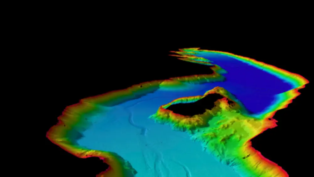
A new map showing the bed of Lake Wānaka in “incredible detail” will help scientists work out the lake’s potential for earthquakes and tsunami, Niwa says.
The work was done after an active fault was found under the lake three years ago.
Lake Wānaka is thought to be at risk of a tsunami-like event due to the active fault and geological features such as steep slopes that could create a landslide and pose a risk to lakefront communities.
“Now we have a clear picture of the lake’s structure, we can better inform hazard modellers and councils to better prepare for these events,” Niwa marine geology technician Sam Davidson said.
Interesting features discovered included complex channel systems linked to the rivers that feed into the lake.
The map was made by steering a boat, fitted with an echosounder, up and down the lake. Ten soundwaves per second were bounced off the lake bed to calculate water depth.
As well as being used for seismic research, the map will also be used to study water quality in the lake.