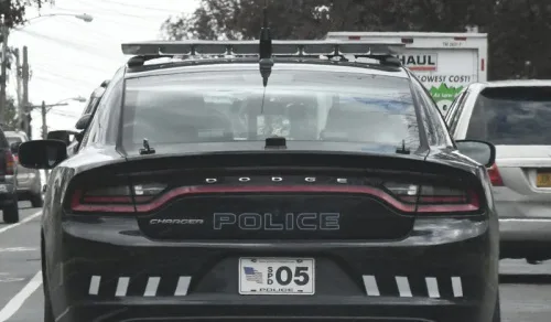
An innovative software program will allow Schenectady police officers to track which streets have been patrolled in the city with real-time updates, the city announced on Tuesday. The new Patrolfinder software was produced by the Transfinder school bus-routing company in partnership with the Schenectady Police Department. The software, which will be deployed in all department patrol vehicles by the end of the week, will allow officers to utilize an app on their in-car tablets to monitor what streets were patrolled during previous police shifts and what areas need to be patrolled in the current shift. “The City of Schenectady’s new partnership with Transfinder, led by CEO Antonio Civitella, is revolutionizing the Schenectady Police Department’s Field Services Bureau,” Mayor Gary McCarthy said on Tuesday. “This GIS (Geographic Information System) software dramatically improves the flow of information to the patrol officer, while expanding community safety, and forward-facing transparency.”