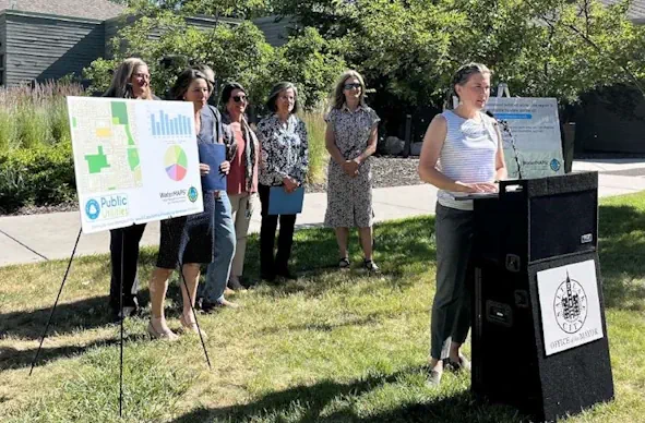
Water supply in Utah's capital city is in a good place after a robust snowpack runoff that's all but over. As the irrigation season moves forward, Salt Lake City is turning to a new tool to help reduce overwatering in the summer. Salt Lake City officials announced a new pilot program with Utah State University on Monday, offering homeowners within the Salt Lake City water district free access to WaterMAPS data, a software program developed by the university, to help people be more efficient with their water use. The online tool uses satellite imagery of outdoor vegetation, weather data and other information to build customized reports on how much water a homeowner needs to water their outdoor landscapes.